What is recorded here
Quarrying bit through the northern earth and took the fort's memory with it, leaving a scarred oval on the Galway ridge where men once drew a line around their own lives. Trees still circle the hole like a forgotten wedding ring, perhaps planted in the nineteenth century to mark what remained. The fair fort is half-erased now, but the shape holds: a small place made serious by the depth of its soil and the distance of its makers.
On a ridge in former demesne land. An oval earthen enclosure (NNE-SSW 37.2, WNW-ESE 29.5), in fair condition, defined by a scarp (H 1.95m max.), except from SE to S where a small section of a bank survives. From NNW through N to NE, quarrying has destroyed the enclosing element. Trees growing around the enclosure may indicate that it was reused as a tree-ring enclosure in the 19th C. According to local information, the monument is known as 'the fort'. An earthwork (GA086-216----) lies 50m to NNE.
The above description is derived from the published 'Archaeological Inventory of County Galway Vol. II - North Galway'. Compiled by Olive Alcock, Kathy de hÓra and Paul Gosling (Dublin: Stationery Office, 1999).
Date of upload: 05 August 2010
The monument record does not grant public access. Check the route and ask the landowner before entering private land.
- What survives
- Recorded monument
Places near here
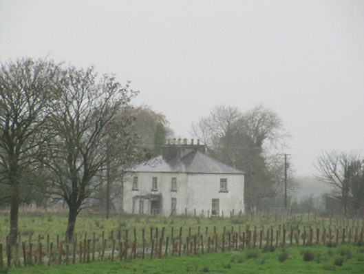 Rathglass Housecountry house · 414 yd
 LismoreEnclosure · 426 yd
 Enclosure in Treanbaun (kilconnell By.)Enclosure · 1083 yd
 Quarry in Castlebin NorthQuarry · 1.3 mi
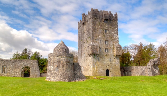 CastleCastle, unclassified · 1.7 mi
 Site of Lisnamoltaun CastleCastle, unclassified · 2.2 mi
 Large-leaved LimeLarge-leaved Lime · 3.3 mi
 Woodlawn WoodsForest · 3.4 mi
 Dartfield Horse MuseumHeritage attraction · 3.9 mi
 Turoe StoneHeritage attraction · 4.0 mi
 Battle of Aughrim Interpretative CentreMuseum · 6.8 mi
 Battle of AughrimMajor battlefield · 6.9 mi