What is recorded here
Situated on a gentle S-facing slope. D-shaped enclosure (dims. 37m SE-NW; 29m N-S) defined by a bank (Wth 6-8m; max. H 2.5m) and a fosse (Wth c. 4m). Shown as circular on the 1838 OS 6-inch map. The site is truncated at the S by a roadway.
The above description is derived from the published 'Archaeological Inventory of County Wicklow' (Dublin: Stationery Office, 1997). In certain instances the entries have been revised and updated in the light of recent research.
Date of upload/revision: 17 December 2008
The monument record does not grant public access. Check the route and ask the landowner before entering private land.
- What survives
- Recorded monument
Places near here
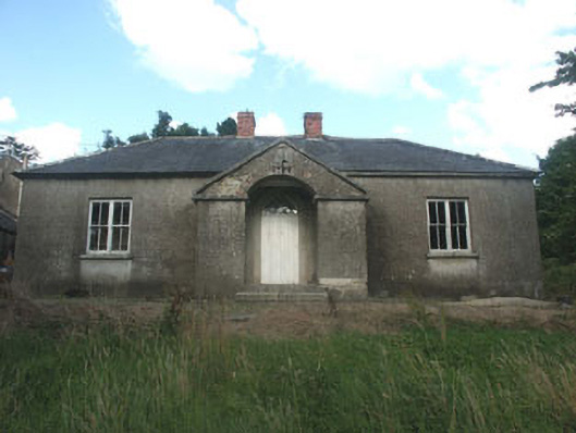 The Old Schoolschool · 678 yd
 IndicatedEnclosure · 723 yd
 Saint John's Church (Moyne)church/chapel · 755 yd
 Ballycumber HillMountain / peak · 1.0 mi
 Cross in Ballymaghroe (ballinacor South By.)Cross · 1.0 mi
 Luke O'Toole MemorialMemorial · 1.9 mi
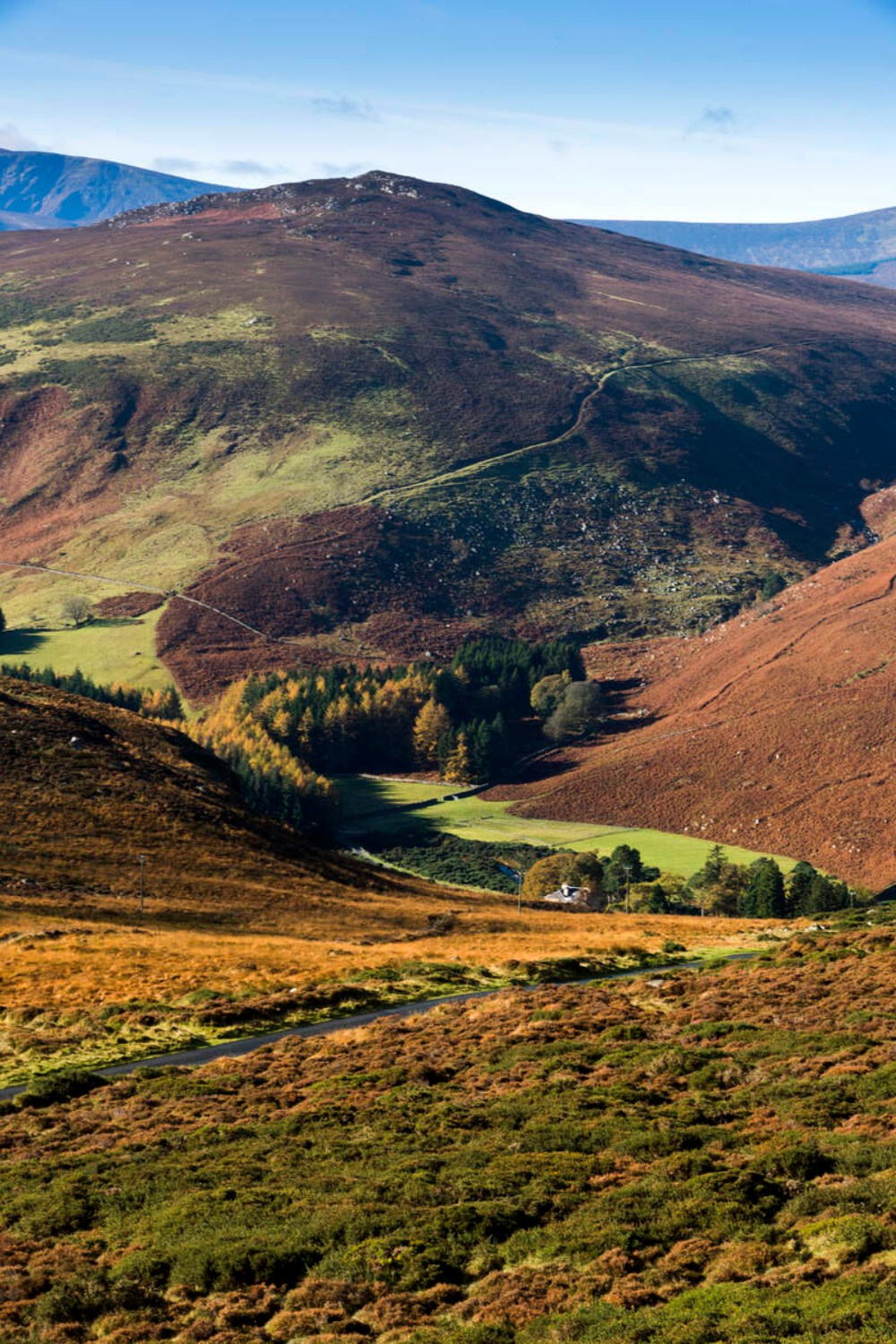 Ballycurragh HillMountain / peak · 2.3 mi
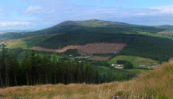 Mangan's WoodForest · 2.8 mi
 1798 Lacey Brothers MemorialMemorial · 3.2 mi
 (Site of) Castle LaurenceCastle, unclassified · 3.4 mi
 Site of CastleCastle, unclassified · 4.3 mi
 Coolalug WoodWood · 4.4 mi