What is recorded here
Fairy fort / earthen ringfort in Raheen (Garrangibbon parish) is a fairy fort or earthen ringfort in Raheen (Garrangibbon parish), County Tipperary, Ireland. It occupies a steep east-facing slope in undulating terrain and remains visible as a circular area 43 metres north-south and 41.7 metres east-west. A broad flattened bank 7 metres wide encloses the interior, rising 0.37 metres inside and 0.42 metres outside. A local account says ploughing removed the site about a hundred years ago, but a northeast quadrant ditch 2.5 metres wide and about 1.45 metres deep still cuts the rising slope.
On quite a steep E-facing slope in undulating terrain, under pasture. Known locally as 'The Raheen' and said to have been ploughed out about a hundred years ago (Prendergast 1972, NMI files). Ringfort is still visible as a circular area (diam. 43m N-S; 41.7m E-W) enclosed by a broad, flattened bank (Wth 7m; int. H 0.37m; ext. H 0.42m). In the NE quadrant a fosse (Wth 2.5m; D c. 1.45m below rising slope) was cut into the natural slope. Interior slopes to E. Field boundary runs along NE-ESE edge of site and along SW sector. Man-made underground passage (TS078-030002-) in NW quadrant. Outline of ringfort visible on aerial photograph (Air Corps V.312/3078).
Compiled by: Jean Farrelly
Date of upload: 26 August 2011
The monument record does not grant public access. Check the route and ask the landowner before entering private land.
- What survives
- Recorded monument
Places near here
 Partially indicatedConcentric enclosure · 855 yd
 Enclosure in Garryduff (garrangibbon Par.)Enclosure · 904 yd
 CastleCastle, ringwork · 951 yd
 Curraghdobbin HillMountain / peak · 1121 yd
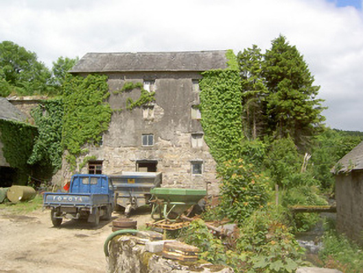 mill (water)mill (water) · 1167 yd
 Wild CherryWild Cherry · 1217 yd
 Church in GarrangibbonChurch · 1618 yd
 Bawn in KilcashBawn · 1.6 mi
 Kilcash WoodForest · 1.6 mi
 Carrigaloe RockNamed rock · 2.0 mi
 Thomas KielyMemorial · 2.4 mi
 Carrigadoon HillMountain / peak · 2.8 mi