What is recorded here
No visible fortification appears in the specified location.
Situated on a gentle S-facing slope in rolling pasture with good views in all directions. Roughly circular area (64m N-S; 63m E-W) enclosed by an earthen bank (int. H 0.1m; Wth 1m; ext. H 1.1m), with traces of an external fosse and a counter-scarp bank from E to SW. The fosse (Wth 1.5m) is u-shaped, and the external bank (int. H 0.2m; Wth 1.1m; ext. H 0.1m) is barely discernible. Several possible cultivation ridges are visible running NW-SE across the interior but the interior is otherwise flat.
Compiled by: Denis Power
Date of upload: 24 June 2013
The monument record does not grant public access. Check the route and ask the landowner before entering private land.
- What survives
- Recorded monument
Places near here
 Bawn in CarrigarreelyBawn · 487 yd
 Site of Killanoher Burial Gd.Children's burial ground · 776 yd
 Enclosure in SkahardEnclosure · 967 yd
 TowerCastle, unclassified · 1280 yd
 Church (in ruins)Church · 1466 yd
 St Lawrence's WellSpring · 1483 yd
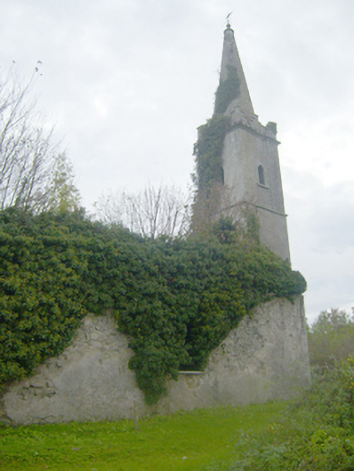 Caherconlish Churchchurch/chapel, mausoleum · 1572 yd
 Wych ElmWych Elm · 1.2 mi
 Graveyard in AbingtonGraveyard · 3.7 mi
 Banoge's WellSpring · 4.2 mi
 Skool HillMountain / peak · 4.2 mi
 Carnane RockNamed rock · 4.8 mi