What is recorded here
No visible castle wall, no church tower, no grand estate. A hidden ring of earth and stone, partly buried under housing and forgotten by most people. The fort still exists beneath Proleek, waiting to be uncovered.
The following description is derived from both the published 'Archaeological Inventory of County Louth' (Dublin: Stationery Office, 1986) and the 'Archaeological Survey of County Louth' (Dublin: Stationery Office, 1991). In certain instances the entries have been revised and updated in the light of recent research.
Date of upload/revision: 17 July 2007
Roughly circular area (int. dims. 29.5m E-W, 27m N-S) enclosed by earth and stone bank (Wth 5.5m, H 1.5m), now partly replaced by modern walls in the NW quadrant. Bank is faced with large stones on the WNW. Ancient entrance gap (Wth 2.1m) at SE. Man-made underground passage (LH004-108002-) in interior of site.
The monument record does not grant public access. Check the route and ask the landowner before entering private land.
- What survives
- Recorded monument
Places near here
 Enclosure in BroughattinEnclosure · 191 yd
 Ecclesiastical enclosure in ProleekEcclesiastical enclosure · 363 yd
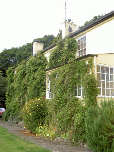 Doolargy Cottagehouse · 801 yd
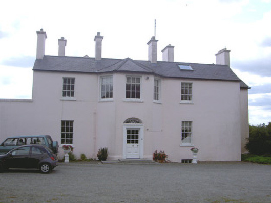 Doolargy Househouse · 818 yd
 Proleek DolmenArchaeological place · 1011 yd
 CastleCastle, tower house · 1.1 mi
 Trumpet HillMountain / peak · 1.3 mi
 Drumisnagh HillMountain / peak · 1.4 mi
 Battle of FaughartMajor battlefield · 1.7 mi
 Faughart MoundCastle, motte · 1.8 mi
 Ravensdale LoopWalking route · 2.3 mi
 KILNASAGGART INSCRIBED PILLAR STONE & CEMETERY with 6 CROSS-CARVED STONES: CELL NA SACART in EdenappaKILNASAGGART INSCRIBED PILLAR STONE & CEMETERY with 6 CROSS-CARVED STONES: CELL NA SACART · 2.4 mi