What is recorded here
Clearing Pottle West revealed a thirty-three metre circle where human hands shaped earth into a temporary world. The low bank still stands though its faces changed and the wide shallow ditch fades except along the southwest edge. A forgotten entrance may have opened there, admitting people who lived, argued, loved and departed before memory collapsed the name into fairy.
Raised circular area (int. diam. 33m) enclosed by a low earthen bank, both faces of which have been modified, and a fosse which is shallow and wide from SW-W and ill-defined elsewhere. Original entrance not recognisable but may have been at SW.
The above description is derived from the published 'Archaeological Inventory of County Cavan' (Dublin: Stationery Office, 1995). In certain instances the entries have been revised and updated in the light of recent research.
Date of upload/revision: 22 December 2008
The monument record does not grant public access. Check the route and ask the landowner before entering private land.
- What survives
- Recorded monument
Places near here
 Church in KilmacnoranChurch · 567 yd
 CastleCastle, unclassified · 669 yd
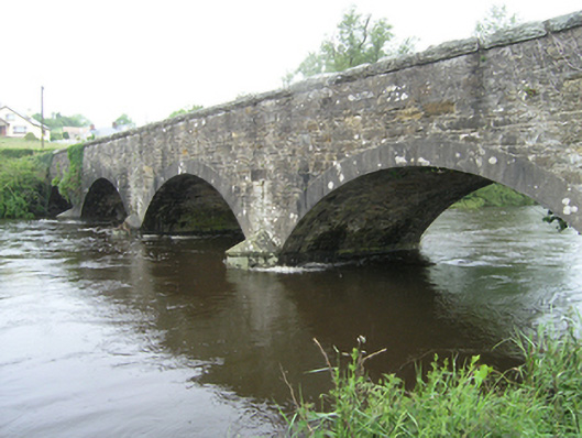 Ballynallon Bridgebridge · 1365 yd
 Drumcarn Ho.Castle, unclassified · 1.0 mi
 CorgarveMountain / peak · 1.5 mi
 Ceremonial enclosure in NeddaiaghCeremonial enclosure · 1.6 mi
 IndicatedFairy fort / earthen ringfort · 1.6 mi
 ArdamaghMountain / peak · 1.6 mi
 Giant's GraveArchaeological place · 2.3 mi
 Garden IsleIslet · 2.3 mi
 Agroforestry plotForest · 2.5 mi
 Castleterra ForestForest · 2.7 mi