What is recorded here
A levelled ringfort in Popeshall, County Dublin, holds a broad southern view toward Lambay Island and the eastern sea. Its shallow circular ditch, forty metres across, may have marked a small defended home where people watched ships or kept herds from the slope. The fairies supposedly took the rest, leaving only a faint line in the grass for humans to imagine.
The monument is situated on a S facing slope with broad views E to the sea, very extensive views S taking in Lambay Island at the SE and restricted by local planting to the W and rising ground upslope to the N. A sub-circular area defined by a single fosse identified on digital globe aerial photography dating to the 24th of June 2018. The area defined measures approximately 42m E-W and 41m N-S. Considering the scale and location of this feature it is likely to represent a levelled ringfort, hence the classification as such.
Compiled by: Margaret Keane
Uploaded on: 4 January 2019
The monument record does not grant public access. Check the route and ask the landowner before entering private land.
- What survives
- Recorded monument
Places near here
 Ring-ditch in PopeshallRing-ditch · 367 yd
 Enclosure in Thomastown (balrothery East By.)Enclosure · 501 yd
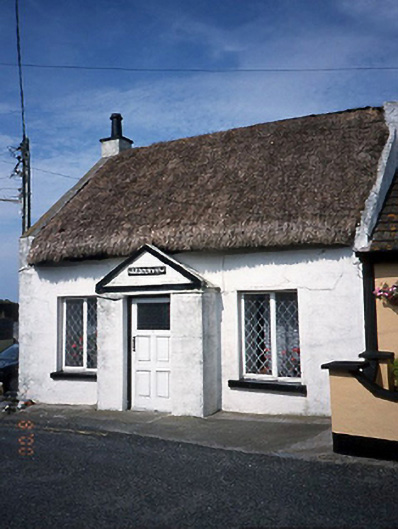 Harbour Viewhouse · 770 yd
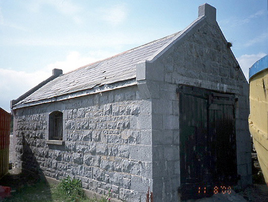 boathouseboathouse · 786 yd
 LoughshinnyVisitor information · 1118 yd
 IndicatedCastle, tower house · 1628 yd
 Shenick IslandIslet · 1.4 mi
 Castle (in ruins)Castle, Anglo-Norman masonry castle · 1.7 mi
 The MillbankVisitor information · 2.2 mi
 Flat cemetery in BalcunninFlat cemetery · 2.7 mi
 Rush South BeachBeach / strand · 2.8 mi
 Joe’s BridgeMemorial · 3.4 mi