
What is recorded here
Geophysical survey (Licence no. 12R010) undertaken by the Discovery Programme as part of the ‘Late Iron Age and “Roman” Ireland’ project identified archaeological activity towards the summit of a prominent hilltop. This ring ditch (15m diam.) surrounds a central pit. It was partially truncated along its northern limit by quarry activity (Dowling 2013, 9).
Compiled by: Christine Baker
Date of upload: 2 February 2015
The monument record does not grant public access. Check the route and ask the landowner before entering private land.
- What survives
- Recorded monument
Places near here
 Ring-ditch in LaneRing-ditch · 272 yd
 Enclosure in Thomastown (balrothery East By.)Enclosure · 400 yd
 LoughshinnyVisitor information · 1072 yd
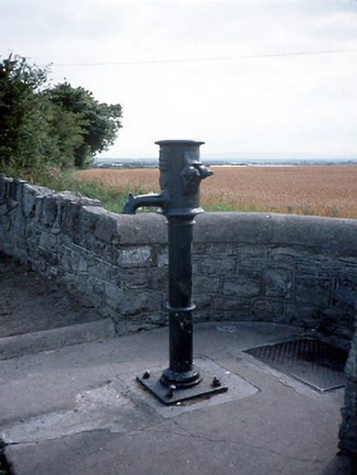 water pumpwater pump · 1111 yd
 Harbour Viewhouse · 1136 yd
 Shenick IslandIslet · 1.3 mi
 Castle (in ruins)Castle, Anglo-Norman masonry castle · 1.5 mi
 Skerries BeachVisitor information · 2.0 mi
 Skerries RockMemorial · 2.3 mi
 Flat cemetery in BalcunninFlat cemetery · 2.5 mi
 Rush South BeachBeach / strand · 2.9 mi
 Man O'War HillMountain / peak · 3.7 mi
Other information
Photo: Credit not shown in the picture search · Rights wording not checked; contact us if this picture should be removed