What is recorded here
Situated on the NNE side of a hilltop, in pasture with excellent views to NW, N and NE. Monument described in 1971 as a subrectangular-shaped area (approx. diam. 34m) enclosed by an earthen bank, a possible intervening fosse and an external bank. The inner bank is substantial and relatively well preserved. A modern field fence extends outside the inner bank from SW-W-NW. There is a possible intervening fosse currently visible from N-E and the remainder of the area between the two banks is obscured by dense overgrowth. There is a slight outer bank from N-E and outside this is a modern field bank, also from N-E. The perimeter and a portion of the interior have been quarried away from E-SE-SSE. The entrance may have been at the E end of the quarry where there is a possible causeway (Wth at top 1.1m; overall Wth 5.7m; H 1.3m). The interior has a gentle S-facing slope and a possible Man-made underground passage (WM022-034001-) within.
Compiled by: Alison McQueen, Vera Rahilly and Caimin O’Brien
Date of upload: 16 July 2019
The monument record does not grant public access. Check the route and ask the landowner before entering private land.
- What survives
- Recorded monument
Places near here
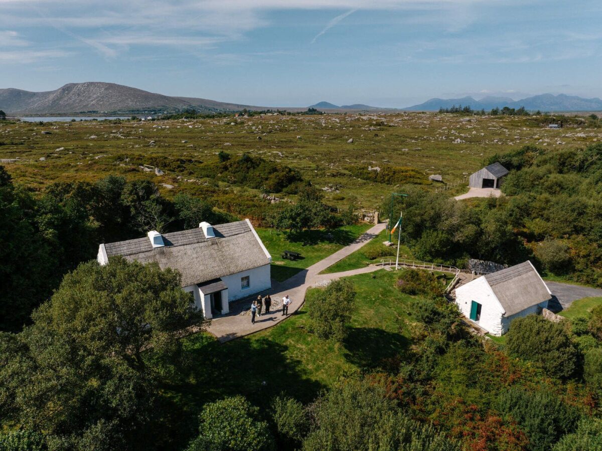 Partially hachuredFairy fort / earthen ringfort · 529 yd
 OutlinedFairy fort / earthen ringfort · 913 yd
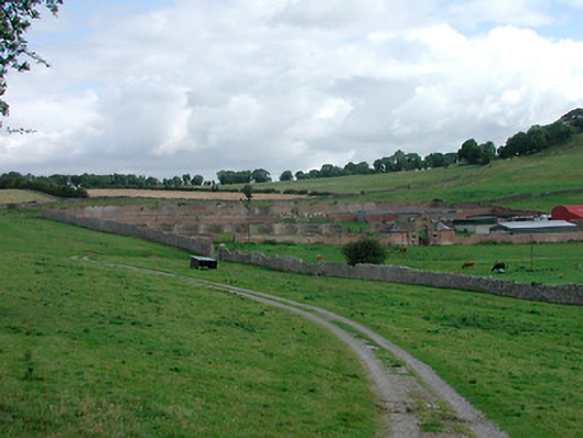 Waterstown Housewalled garden · 1023 yd
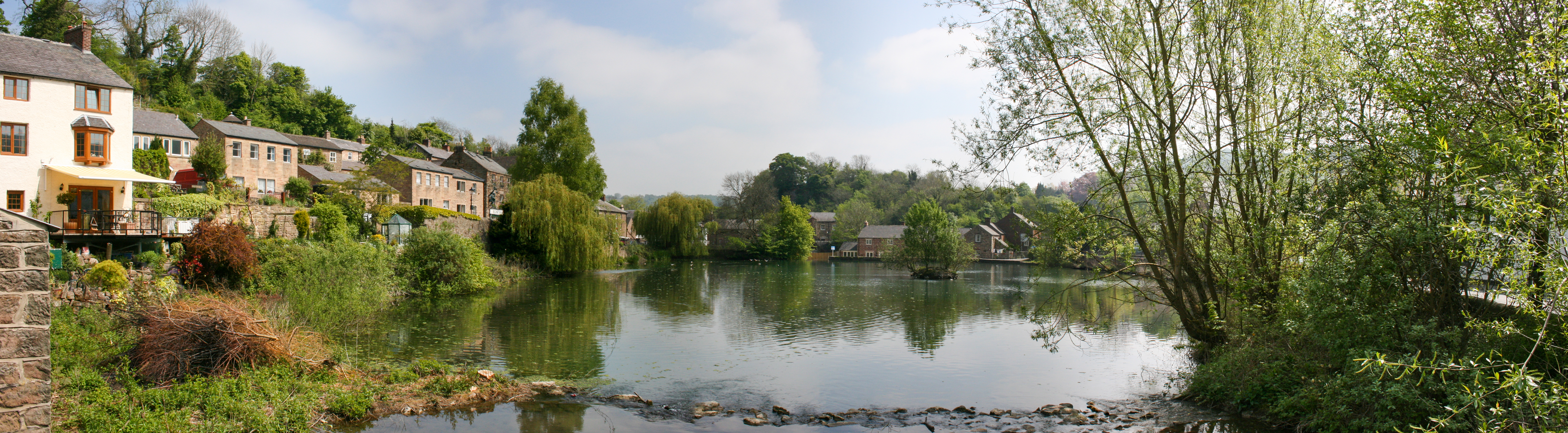 Mill PondWater mill, vertical-wheeled · 1035 yd
 Old Castle (in ruins)Castle, unclassified · 1532 yd
 Bunown CastleCastle · 1.2 mi
 Killinure BayBay · 1.9 mi
 Temple's IslandIslet · 2.0 mi
 Traveen BayBay · 2.7 mi
 Thatch IslandIslet · 3.2 mi