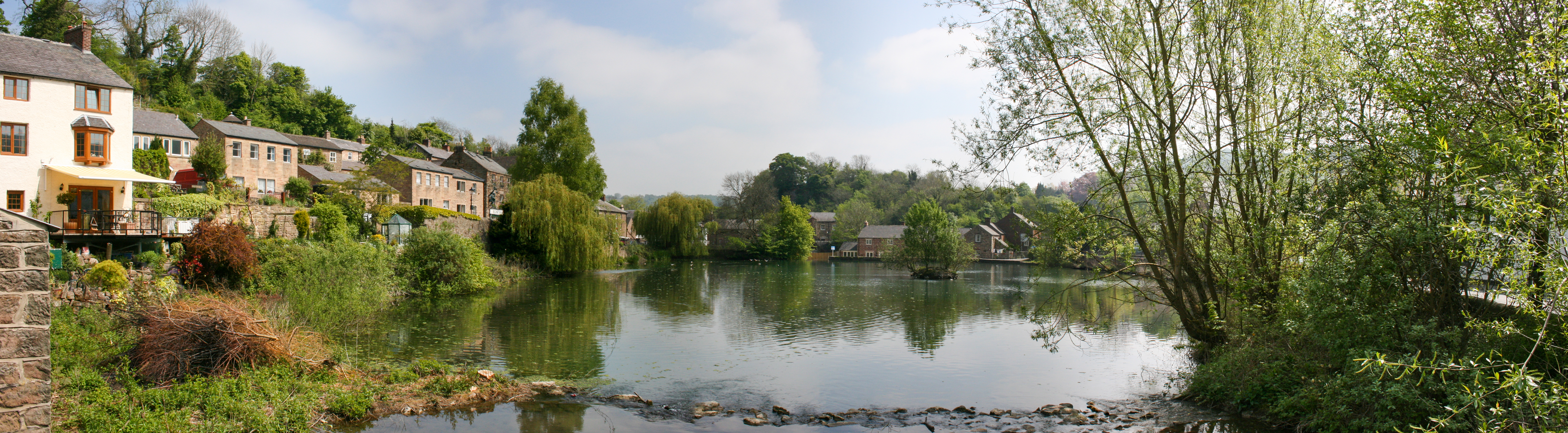
What is recorded here
The terrier of the Down Survey map of Bunown parish recorded that there stands 'on Bunowen & c. a Castle (WM022-022----) and a mill' which stood on the lands of Pierce Dillon, an Irish papist in 1641 (NLI, MS 723-4).
Mill Pond depicted on 1837 ed. OS 6-inch map located in same area as watermill located on 1659 Down Survey map of Kilkenny West barony (NLI, MS 723-4). On this map the mill is depicted with a vertical waterwheel on the gable of a building standing on the bank of a river and annotated as 'mill'. Mill Pond depicted on 1837 ed. OS 6-inch map may be the mill pond belonging to the mill depicted on the Down Survey map. On this map the mill is shown located at the meeting point of the boundary between three townlands which today are represented by Farrannamoreen, Pearsonbrook and Glassan. On the Down Survey map of Bunowen parish the mill is depicted further away from the townland boundary and is possibly located in the area where a 'Corn Mill' is depicted in Glassan on the 1837 ed. OS 6-inch map. The mill was probably located on the N side of the stream between the mill pond at Pearsonbrook and the Corn Mill at Glassan. Alternatively the Corn Mill at Glassan may have been built on the site of or incorporated part of the mill depicted on the Down Survey map.
Compiled by: Caimin O'Brien
Date of upload: 23 July 2015
The monument record does not grant public access. Check the route and ask the landowner before entering private land.
- What survives
- Recorded monument
Places near here
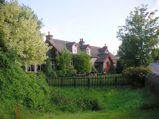 Glassan Cottagehouse · 110 yd
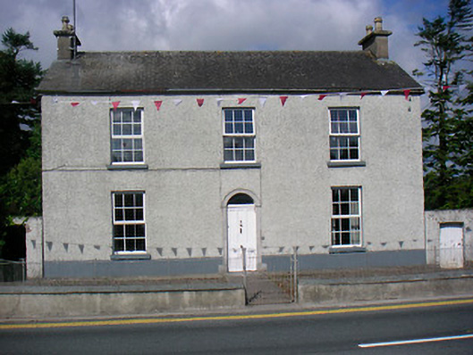 Glassan Househouse · 364 yd
 Partially hachuredFairy fort / earthen ringfort · 525 yd
 Bunown CastleCastle · 1107 yd
 Old Castle (in ruins)Castle, unclassified · 1.1 mi
 Lady WellHoly well · 1.1 mi
 Killinure BayBay · 1.3 mi
 Temple's IslandIslet · 1.6 mi
 Traveen BayBay · 2.1 mi
 Thatch IslandIslet · 2.7 mi
Other information
Photo: Credit not shown in the picture search · Rights wording not checked; contact us if this picture should be removed