What is recorded here
No. Of private toolchain or hidden value. Use the facts already given. Wait for the personal details being asked, then judge the exact request.
Depicted as hachured slightly oval-shaped enclosure (diam. c. 30m) on 1842 OS 6-inch map, with lime kiln at SE side; survives in field boundary to E on 1905 OS 6-inch map, lime kiln shown to SE. Destroyed by quarry.
The above description is derived from the published 'Archaeological Inventory of County Cork. Volume 4: North Cork' (Dublin: Stationery Office, 2000). In certain instances the entries have been revised and updated in the light of recent research.
Date of upload/revision: 14 January 2009
The monument record does not grant public access. Check the route and ask the landowner before entering private land.
- What survives
- Recorded monument
Places near here
 LisnapasteeBurial ground · 931 yd
 Lombardstown Bridgebridge · 1504 yd
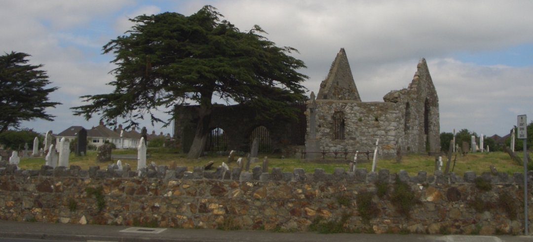 Burial ground in KilbarrahanBurial ground · 1559 yd
 Gurteenkreen Castle (Site of)Castle, unclassified · 1.0 mi
 Roskeen Housecountry house · 1.1 mi
 Lohort CastleCastle, tower house · 2.0 mi
 Dromaneen CastleHeritage attraction · 2.6 mi
 Mount HillaryMountain / peak · 2.7 mi
 Mount Hillary - Knightfield LoopWalking route · 2.8 mi
 Graveyard in Ballygiblin (duhallow By.)Graveyard · 2.9 mi
 Mount Hillary - Mount Hillary LoopWalking route · 3.0 mi
 St Fursey's WellSpring · 3.4 mi