What is recorded here
Half-buried at the south end of a low ridge in Painestown, the forgotten rath keeps its circular shape hidden beneath grass and memory. A broad ditch once cut the earth, perhaps marking a boundary between human life and fairy mischief. People may have walked its edge at dusk, listening for movement in the grass or leaving small offerings behind. The fort does not demand belief, but it does not release anyone unchanged.
Situated towards the S end of a low N-S ridge. The cropmark of a circular enclosure (diam. c. 40m) defined by a single, substantial fosse feature (Wth c. 5m) is visible on the OSI series of aerial photographs (1995). It is also partially visible on the Bing images (c. 2012) and was first identified by Ivor Kenny. It is probably a rath.
See the attached enhanced view from Map Genie (1995)
Compiled by: Michael Moore
Date of upload: 19 December, 2014
The monument record does not grant public access. Check the route and ask the landowner before entering private land.
- What survives
- Recorded monument
Places near here
 Enclosure in LurganboyEnclosure · 969 yd
 Enclosure in Nicholastown (ferrard By.)Enclosure · 1041 yd
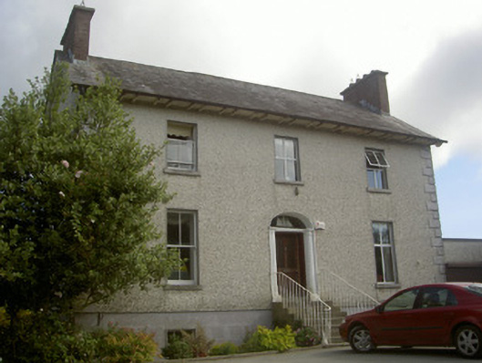 Seaview Househouse · 1090 yd
 IndicatedHouse, 18th/19th century · 1465 yd
 Moneyveg WoodForest · 1.8 mi
 Graveyard in DysartGraveyard · 1.8 mi
 Sweet baySweet bay · 2.1 mi
 BarmeathCastle, tower house · 2.1 mi
 Chapel (in Ruins), GraveyardChurch · 2.4 mi
 Tullydonnell HillMountain / peak · 2.5 mi
 Castle RuinsCastle, tower house · 3.4 mi
 MonasterboiceEarly monastic site · 6.4 mi