What is recorded here
Half a kilometre from Oldcastle, a hidden ringfort crouches on a rise, its earthen bank still standing though centuries of grass have swallowed the entrance. The fairies took the gate when men stopped visiting, leaving only a broken circle where the soil remembers every footstep it has taken in.
Located on a rise in an undulating landscape. This is a circular, slightly domed (H 0.8m) and overgrown area (diam. 36m E-W; 33.5m NW-SE) defined by an earthen bank (at SE: Wth of base 6m; int. H 0.4m; ext. H 0.8m) ESE-SW and a shallow fosse (at SW: Wth of top 10m; Wth of base 5m; ext. D 0.5m), but the bank is reduced to a scarp (at NW: Wth 0.5m; H 0.4m) and the fosse to a berm (at NW: Wth 3m) and outer scarp (at NW: Wth 3.5m; H 1.2m) over much of the perimeter. The original entrance is not identified, and a lot of field stones have been added to the perimeter.
The above description is derived from the published 'Archaeological Inventory of County Meath' (Dublin: Stationery Office, 1987). In certain instances the entries have been revised and updated in the light of recent research.
Compiled by: Michael Moore
Date of revision: 31 October 2018
The monument record does not grant public access. Check the route and ask the landowner before entering private land.
- What survives
- Recorded monument
Places near here
 Fennor LowerMountain / peak · 824 yd
 Enclosure in OldcastleEnclosure · 935 yd
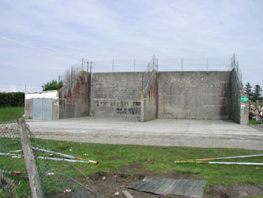 Saint Oliver Post Primary Schoolhandball alley · 990 yd
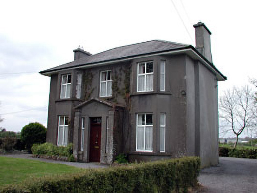 Lisshouse · 999 yd
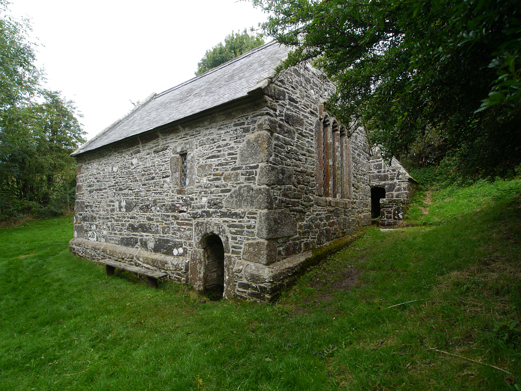 Holy WellHoly well · 1034 yd
 Memorial CrossMemorial · 1.1 mi
 Mount FortuneMountain / peak · 1.3 mi
 CastleCastle, unclassified · 1.6 mi
 Site of Old CastleCastle, unclassified · 2.8 mi
 C11Named rock · 2.9 mi
 LoughcrewMegalithic tomb cemetery · 3.1 mi
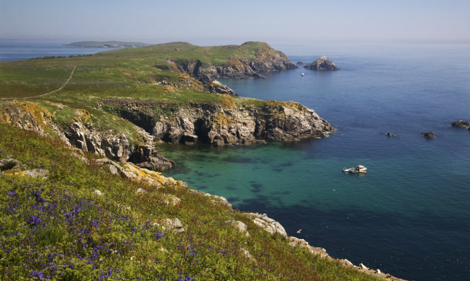 Crossafehin IslandsIslet · 3.1 mi