What is recorded here
Magic is not fantasy here. The land still remembers that people are small, and it arranges itself around what it believes.
Situated at the crest of the NW-facing slope of a ridge overlooking Lough Fea (dims c. 650-750m N-S; c. 370-420m E-W), the E shore of which is c. 230m distant. This is a wooded circular area (int. diam. 42m N-S; 41m E-W) that slopes down to the S and is surrounded by two earthen banks with an intervening fosse. There are entrance gaps through the inner bank at E (Wth of base 3.6m) and W (Wth of base 3.9m), either of which might be the original entrance. The rath is enclosed by a modern earthen bank with drains on both sides.
The above description is derived from the published 'Archaeological Inventory of County Monaghan' (Dublin: Stationery Office, 1986). In certain instances the entries have been revised and updated in the light of recent research.
Date of revision: 31 July 2017
The monument record does not grant public access. Check the route and ask the landowner before entering private land.
- What survives
- Recorded monument
Places near here
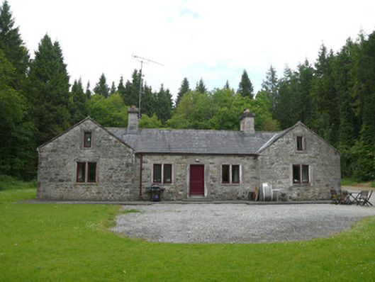 Carrickmacross Orange Lodgehall · 320 yd
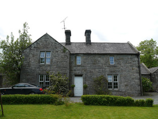 Losset Househouse · 740 yd
 IndicatedFairy fort / earthen ringfort · 927 yd
 Monkey-puzzleMonkey-puzzle · 1067 yd
 frotFairy fort / earthen ringfort · 1590 yd
 European BeechEuropean Beech · 1633 yd
 Drumerlough MoreMountain / peak · 2.9 mi
 BarleyhillMountain / peak · 3.2 mi
 Natural Play AreaMemorial · 3.2 mi
 In Memory of Our DadMemorial · 3.3 mi
 Castle ruinsCastle, unclassified · 3.3 mi
 Mannan Castle (in ruins)Castle, Anglo-Norman masonry castle · 4.2 mi