What is recorded here
Fairy fort / earthen ringfort in Newtowncliffony is a fairy fort or earthen ringfort in Newtowncliffony, County Sligo, Ireland. It occupies a north-facing pasture slope above the sea as a raised circular area twenty-two metres across. A badly eroded earth and stone bank encloses the site, while traces of an external fosse remain on the north side. Field boundaries have cut through the monument and obscured its original entrance.
Situated on a N-facing slope in pasture overlooking the sea. Raised circular area (diam. 22m) enclosed by a badly eroded bank of earth and stone ((Wth. 0.6m; int. H 1m). There are traces of an external fosse on the N side. The enclosing elements have been incorporated into the field boundary from WNW-NW-NNW. The monument is divided into two unequal portions by a NE-SW field boundary. Only the outline of the circuit of the much smaller portion, NE of this, is now identifiable. Original entrance not recognisable.
Compiled by: Patrick F. O'Donovan
Date of upload: 08 March 2013
The monument record does not grant public access. Check the route and ask the landowner before entering private land.
- What survives
- Recorded monument
Places near here
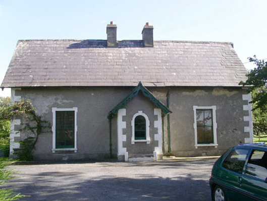 Denver Lodgehouse · 507 yd
 IndicatedEnclosure · 607 yd
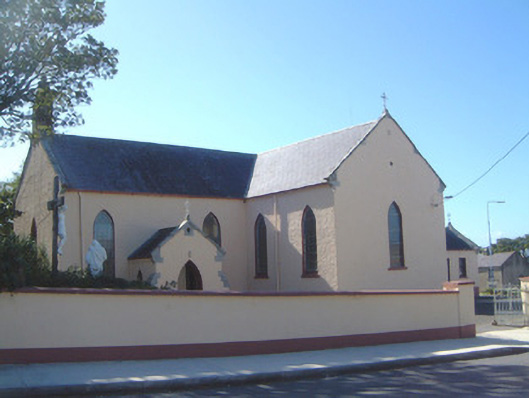 Saint Molaise's Catholic Churchchurch/chapel · 882 yd
 CaveFairy fort / earthen ringfort · 1462 yd
 Trawalua StrandBeach / strand · 1521 yd
 Classiebawn WoodsWood · 1.4 mi
 Creevykeel Court TombNeolithic court tomb · 1.5 mi
 Unbaptised Children MonumentMemorial · 1.9 mi
 Connors IslandIsland · 2.5 mi
 assassination of Louis Mountbatten, 1st Earl Mountbatten of Burmaassassination · 2.7 mi
 Mullaghmore HeadVisitor information · 2.9 mi
 Wild Atlantic Way: Mullaghmore HeadVisitor information · 2.9 mi