What is recorded here
Fairy fort in Newstone, County Meath: a large circular embankment near the top of a drumlin ridge, recorded as a fort on the 1836 map and still readable as a grass-covered ring about forty-eight metres across. It has the shape of a threshold rather than a toy: a place where people may have kept fire, tools, children or argument away from the road. The fairy name does not dismiss that human sharpness; it admits the edge still standing inside the circle.
Located towards the top of the SE-facing spine of a NW-SE drumlin ridge. A large embanked circular enclosure (ext. diam. c. 80m) is depicted on the 1836 edition of the OS 6-inch map where it is described in gothic lettering as a ‘Fort’, and it is suggested by a curve in a field bank SE-W-NW on the 1908 edition. This is a circular grass-covered area (int. diam. 48m N-S) defined by a slight scarp at S and a fosse suggested by lush growth (Wth 5m) at N, and there is a slight curve in the field bank SSW-WNW. The outline is visible on the OSI aerial images (1995) (OSAP).
The above description is derived from the published 'Archaeological Inventory of County Meath' (Dublin: Stationery Office, 1987). In certain instances the entries have been revised and updated in the light of recent research.
Compiled by: Michael Moore
Date of revision: 5 September 2018
The monument record does not grant public access. Check the route and ask the landowner before entering private land.
- What survives
- Recorded monument
Places near here
 Newstone Castle in RuinsCastle, tower house · 579 yd
 CastleCastle, motte · 764 yd
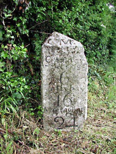 milestone/milepostmilestone/milepost · 850 yd
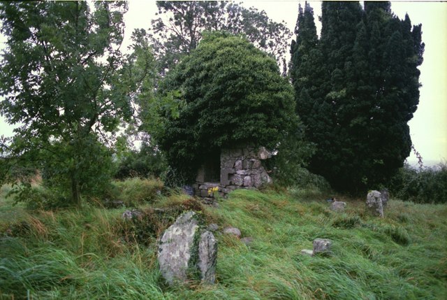 Drumbride Church in RuinsChurch · 1346 yd
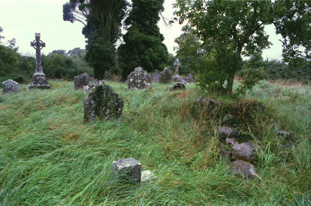 Grave YardGraveyard · 1353 yd
 Matthew's HillMountain / peak · 1.0 mi
 Font (present location) in RathtrasnaFont (present location) · 1.2 mi
 Drumran HillMountain / peak · 1.3 mi
 Tree IslandWood · 3.0 mi
 Flat cemetery in AnnaheanFlat cemetery · 3.7 mi
 Nobber GreenwayMemorial · 4.7 mi
 European White ElmEuropean White Elm · 5.0 mi