What is recorded here
Fairy forts in County Louth are often earthen rings that people stopped using but never forgot. Newrath keeps a faint circular shadow on a low ridge, small enough to walk around in minutes yet large enough to hold a household, a herd or a story. The soil may have swallowed the wall while the field drained around it, leaving only a ghost line for satellites to catch.
Located at the summit of a low E-W ridge. The faint cropmark of a circular enclosure (diam. c. 30m NE-SW) defined by a single slight fosse feature S-N-NE is visible on Google Earth (18/06/2017) with some drains from a field system attached to the SW. The rath is visible more clearly on OSAP (2017), although still very faint. It was first reported by Anthony Murphy.
Attached image from OSAP (2017).
Compiled by: Michael Moore
Date of upload: 11 November 2019
The monument record does not grant public access. Check the route and ask the landowner before entering private land.
- What survives
- Recorded monument
Places near here
 CastleCastle, unclassified · 600 yd
 Enclosure in Newrath (louth By., Dromiskin Par.)Enclosure · 671 yd
 EnclosureEnclosure, large enclosure · 779 yd
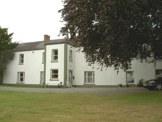 Dellin Housecountry house · 1076 yd
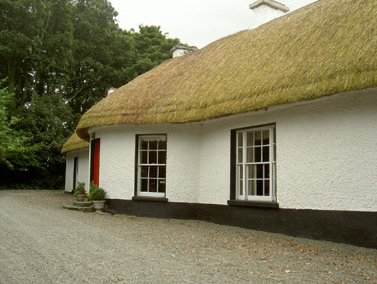 Whiterath Cottagehouse · 1387 yd
 Viking BoatHeritage attraction · 1.4 mi
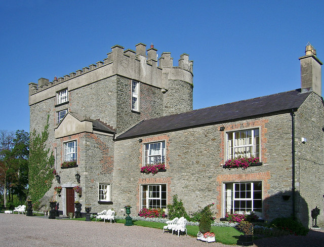 Bawn in DarverBawn · 1.5 mi
 Drummeenagh HillMountain / peak · 1.7 mi
 Rabbit BurrowWood · 1.9 mi
 Long WoodForest · 2.7 mi
 Graveyard in Richardstown (ardee By., Richardstown Par.)Graveyard · 4.4 mi
:no_upscale()/cdn.vox-cdn.com/uploads/chorus_asset/file/25593391/County_Louth_6th.jpg) LouthMountain / peak · 4.6 mi
LouthMountain / peak · 4.6 mi