
What is recorded here
Sub-circular enclosure (max. dims c. 132m E-W, c. 116m N-S) showing as the cropmark of a fosse feature on aerial photograph (CUCAP: BDG 80) and incorporating a curved field boundary NE-SE and part of the townland boundary with Newtowndarver at W. A second internal curving fosse feature at E may represent part of an inner enclosure. On the aerial photograph two parallel cropmark fosse features extend NW from the perimeter at N.
The above description is derived from both the published 'Archaeological Inventory of County Louth' (Dublin: Stationery Office, 1986) and the 'Archaeological Survey of County Louth' (Dublin: Stationery Office, 1991). In certain instances the entries have been revised and updated in the light of recent research.
Date of revised upload: 2 June 2017
The monument record does not grant public access. Check the route and ask the landowner before entering private land.
- What survives
- Recorded monument
Places near here
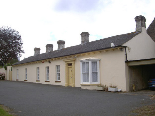 Newtown Darverfarm house · 762 yd
 Enclosure in Newrath (louth By., Dromiskin Par.)Enclosure · 1178 yd
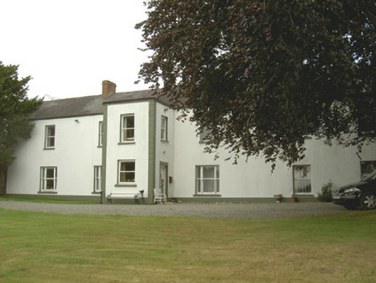 Dellin Housecountry house · 1264 yd
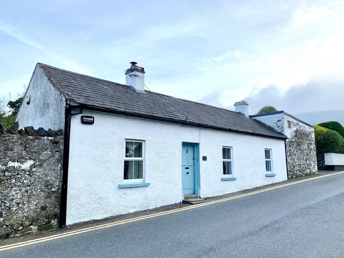 Enclosure in DellinEnclosure · 1265 yd
 CastleCastle, unclassified · 1368 yd
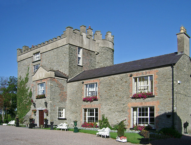 Bawn in DarverBawn · 1.2 mi
 Rabbit BurrowWood · 1.5 mi
 Viking BoatHeritage attraction · 1.9 mi
 Drummeenagh HillMountain / peak · 2.1 mi
 Long WoodForest · 3.0 mi
:no_upscale()/cdn.vox-cdn.com/uploads/chorus_asset/file/25593391/County_Louth_6th.jpg) LouthMountain / peak · 4.2 mi
LouthMountain / peak · 4.2 mi Graveyard in Richardstown (ardee By., Richardstown Par.)Graveyard · 4.3 mi
Other information
Photo: Credit not shown in the picture search · Rights wording not checked; contact us if this picture should be removed