What is recorded here
Half-hidden under grass and river mist, the Mullylusty ringfort still holds its shape beside the Lagan. Earth banks rise where they can, fade where they cannot, and the gaps along the west and north-east leave the entrance unknown. People may have lived inside, watched the water, or simply avoided the place because local story calls it a fairy fort. Either way, the river kept the boundary clean while human certainty slipped away.
Located at the bottom of a S-facing slope and on the N bank of a SW-NE section of the River Lagan. This is a subrectangular grass-covered area (dims 28.5m NW-SE: 26.5m NE-SW) sloping down to the SE (H 2m), which is defined by overgrown earthen banks (at W: Wth 2.9m; int. H 0.6m; ext. H 0.65m) SW-N-NE, reduced to a scarp elsewhere. There is no visible fosse, and while there are gaps in the perimeter at WSE, W and NE, but the original entrance is not identified.
The above description is derived from the published 'Archaeological Inventory of County Monaghan' (Dublin: Stationery Office, 1986). In certain instances the entries have been revised and updated in the light of recent research.
Date of revision: 27 June 2017
The monument record does not grant public access. Check the route and ask the landowner before entering private land.
- What survives
- Recorded monument
Places near here
 Lagan Bridgebridge · 377 yd
 Lagan castleCastle, tower house · 461 yd
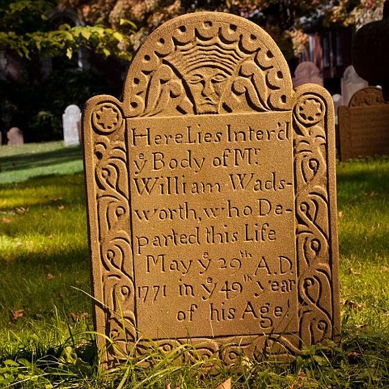 Ancient Burying GroundEcclesiastical enclosure · 885 yd
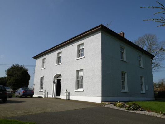 Annahean Househouse · 1320 yd
 Flat cemetery in AnnaheanFlat cemetery · 1390 yd
 The MountCastle, motte and bailey · 1.0 mi
 Man-made underground passage in Killark (farney By.)Man-made underground passage · 1.1 mi
 Tree IslandWood · 2.2 mi
 Matthew's HillMountain / peak · 2.8 mi
 BarleyhillMountain / peak · 3.9 mi
 Monkey-puzzleMonkey-puzzle · 4.5 mi
 Graveyard in StickillinGraveyard · 7.8 mi