What is recorded here
Located on a slight rise in a low-lying position within an undulating landscape. According to the Tripartite Life of St Patrick, an unreliable source, the saint failed to convert the people of Eanach Chonglais (Killaney) when he was passing through between Armagh and Meath, and he was looky to escape with his life (Herity 2012, 199; Boylan 1967). It was presumably left to St Ultán of Ardbraccan (ME025-022----), the medieval patron of the parish, to effect conversion, but there is no record of this (Ó Riain 2011, 580-2). A large enclosure defined by field banks is depicted on the 1834 edition of the OS 6-inch map where it is described in gothic lettering as ‘Ancient Burying Ground.’ It survives as a D-shaped grass-covered area (dims c. 95m NE-SW: c. 75m NW-SE), locally known as ‘Doileana’, which is defined by a low earthen bank (at SSE: Wth 4m; int. H 0.2m; ext. H 0.6m) that is largely an overgrown scarp (H c. 0.8m) NE-E-SW, and by a NE-SW field bank at NW. There is no evidence of, or local knowledge of burials. A crude cross-slab with a ringed cross in relief, together with two bullaun stones were present in 1940 and in 1984 (SMR file). These could not be located in 2016 but are probably present in the overgrown perimeter.
Located on a slight rise in a low-lying position within an undulating landscape. According to the Tripartite Life of St Patrick, an unreliable source, the saint failed to convert the people of Eanach Chonglais (Killaney) when he was passing through between Armagh and Meath, and he was looky to escape with his life (Herity 2012, 199; Boylan 1967). It was presumably left to St Ultán of Ardbraccan (ME025-022----),…
From the National Monuments Service (Archaeological Survey of Ireland) record MO034-021001
The monument record does not grant public access. Check the route and ask the landowner before entering private land.
- What survives
- Recorded monument
Places near here
Flat cemetery in AnnaheanFlat cemetery · 507 yd Annahean HouseHouse · 511 ydLagan BridgeBridge · 1261 ydFulacht fia in Drumgeeny (farney By)Fulacht fia · 1346 ydMatthew's HillMountain / peak · 3.1 miBarleyhillMountain / peak · 4.2 miMonkey-puzzle4.4 miEuropean Beech4.6 miSir Frederick Foster MemorialMemorial · 6.4 miThe College (in Ruins)College · 6.5 miCastleCastle, tower house · 6.5 miCastleCastle, tower house · 6.6 mi
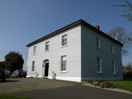 Annahean HouseHouse · 511 yd
 Lagan BridgeBridge · 1261 ydFulacht fia in Drumgeeny (farney By)Fulacht fia · 1346 ydMatthew's HillMountain / peak · 3.1 miBarleyhillMountain / peak · 4.2 mi
 Monkey-puzzle4.4 mi
 European Beech4.6 mi
 Sir Frederick Foster MemorialMemorial · 6.4 mi
 The College (in Ruins)College · 6.5 mi
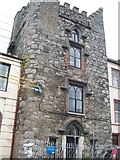 CastleCastle, tower house · 6.5 mi
 CastleCastle, tower house · 6.6 mi
Pictures: National Inventory of Architectural Heritage; Vicente Fernández Rioja, Wikimedia Commons · CC BY-SA 4.0; Malene Thyssen, Wikimedia Commons · CC BY-SA 3.0; Nuala Furley, Wikimedia Commons · CC BY-SA 4.0; Dasmuy, Wikimedia Commons · CC BY-SA 4.0; Eric Jones, Geograph · CC BY-SA 2.0
More archaeology and monuments in County Monaghan · All of County Monaghan
What do you know about this place?