What is recorded here
Mullinroe is a fairy fort. The field is levelled, but a low scarp still marks part of the circle. The fort is gone only in the way that makes it yours: you must walk the shape the land has kept.
On a NW-SE rise in pasture. Depicted as an oval enclosure with the designation 'Fort' on the 1837 ed. of the OS 6-inch map. This rath has been levelled, however, its circuit is defined by a low scarp (H 1-1.2m) from SE-S-SW. Elsewhere only its outline is identifiable. The enclosed area is subcircular (c. 37m NE-SW; c. 31m NW-SE) in plan.
Compiled by: Patrick F. O'Donovan
Date of upload: 26 August 2011
The monument record does not grant public access. Check the route and ask the landowner before entering private land.
- What survives
- Recorded monument
Places near here
 Lissakerry FortFairy fort / earthen ringfort · 413 yd
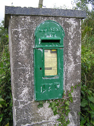 post boxpost box · 862 yd
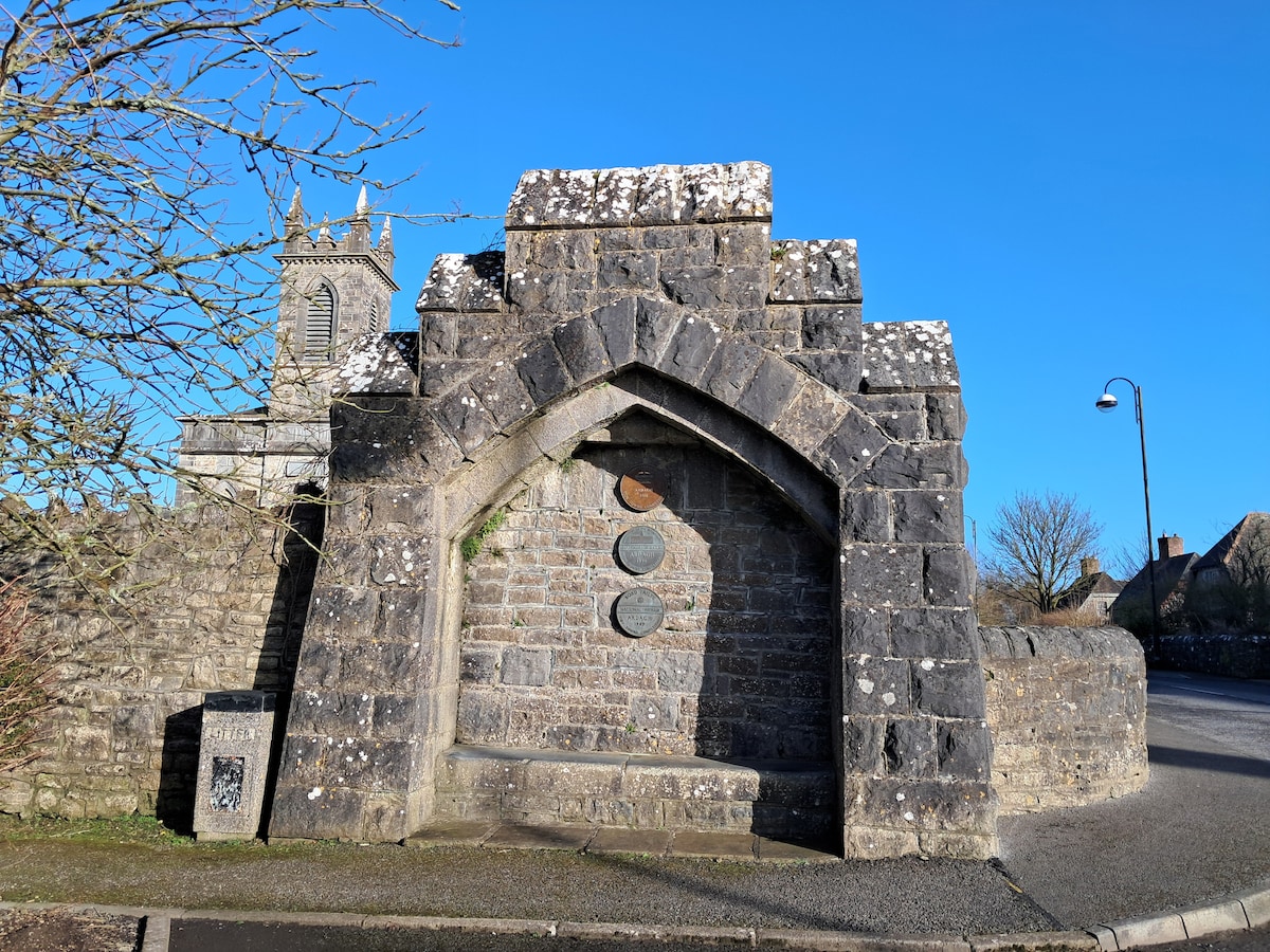 Enclosure in Cloonagh (granard By.)Enclosure · 1202 yd
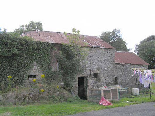 Clooneen Millmill (water) · 1361 yd
 Derrycassan WoodsWood · 1.6 mi
 ToomeMountain / peak · 1.7 mi
 CartronfreeMountain / peak · 1.9 mi
 InchmoreIslet · 2.5 mi
 IdicatedCastle, unclassified · 2.6 mi
 Bakers FortCastle, ringwork · 2.9 mi
 1798 Monumentmonument · 2.9 mi
 Granard MotteMotte-and-bailey castle remains · 3.0 mi