What is recorded here
Fairy fort in Moylagh, County Meath: a circular grass-covered rise, 34 by 31 metres, with a scarp wall and no visible entrance or fosse. Road-widening in 1979 removed much of its east half, leaving the west edge still standing like a forgotten shoulder of the land. People may have lived there, marked it, or feared it; the earth keeps the shape even when the story is lost.
Situated on a local rise in an undulating landscape. This is a raise and circular grass-covered area (diam. 34m WNW-ESE; 31m NNE-SSW) defined by a scarp (at SW: Wth 3m; H 1.5m; at NE: Wth 7.5m; H 3.1m) that is incorporated into a road boundary E-SE. There is no visible fosse or entrance. It was damaged in road-widening in 1979 when much of the E half was removed.
The above description is derived from the published 'Archaeological Inventory of County Meath' (Dublin: Stationery Office, 1987). In certain instances the entries have been revised and updated in the light of recent research.
Compiled by: Michael Moore
Date of revision: 21 November 2018
The monument record does not grant public access. Check the route and ask the landowner before entering private land.
- What survives
- Recorded monument
Places near here
 European BeechEuropean Beech · 939 yd
 IndicatedEnclosure · 1248 yd
 Moylagh FortFairy fort / earthen ringfort · 1533 yd
 Moat CastleCastle, unclassified · 1605 yd
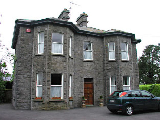 Saint Mary'spresbytery/parochial/curate's house · 1.1 mi
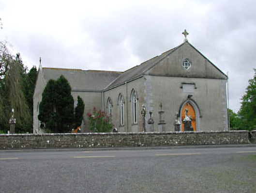 Saint Mary's Catholic Churchchurch/chapel · 1.2 mi
 Seafin HillMountain / peak · 1.9 mi
 Green CastleCastle, unclassified · 2.0 mi
 Zip WireHeritage attraction · 2.2 mi
 European YewEuropean Yew · 2.3 mi
 Mount FortuneMountain / peak · 2.9 mi
 C11Named rock · 2.9 mi