
What is recorded here
Situated in an undulating low-lying landscape. It is depicted as a circular embanked and wooded feature on the 1836 edition of the OS -6-inch map where it is described in gothic lettering as a ‘Fort’ and it is depicted as a small wood on the 1908 edition. This is a circular grass-covered and slightly domed area (diam. 58m N-S; 56m E-W) defined by a scarp (at W: Wth 2m; H 1.1m) and hedge. There is no visible fosse or entrance.
The above description is derived from the published 'Archaeological Inventory of County Meath' (Dublin: Stationery Office, 1987). In certain instances the entries have been revised and updated in the light of recent research.
Compiled by: Michael Moore
Date of revision: 21 November 2018
The monument record does not grant public access. Check the route and ask the landowner before entering private land.
- What survives
- Recorded monument
Places near here
 Enclosure in Annagh (fore By.)Enclosure · 1498 yd
 Field system in Annagh (fore By.)Field system · 1544 yd
 European BeechEuropean Beech · 1.0 mi
 CastleCastle, unclassified · 1.5 mi
 Moat CastleCastle, unclassified · 1.6 mi
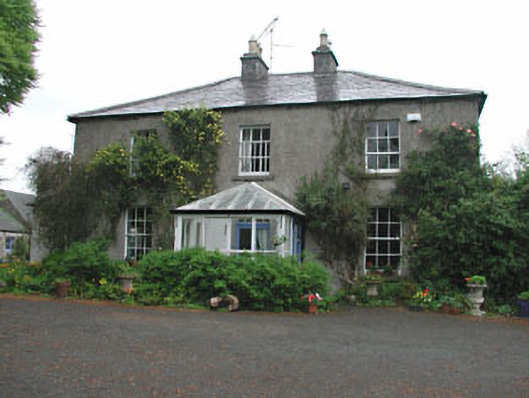 Killeagh Houserectory/glebe/vicarage/curate's house · 1.6 mi
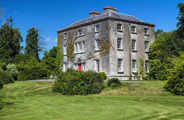 Hilltown Housecountry house · 1.7 mi
 Seafin HillMountain / peak · 2.6 mi
 Zip WireHeritage attraction · 2.7 mi
 European YewEuropean Yew · 2.8 mi
 Mullaghmeen ForestPicnic place · 2.8 mi
 Mount FortuneMountain / peak · 2.9 mi
Other information
Photo: Credit not shown in the picture search · Rights wording not checked; contact us if this picture should be removed