What is recorded here
Mornin held a broad oval rath where human hands raised earth and stone against the low-lying pasture. Quarrying took its eastern edge, and later work flattened what remained, reducing a lived boundary to a faint scar in grass. The fairy label may be local tradition rather than fact, but the loss is clear: a shaped place was consumed until memory, not structure, holds it.
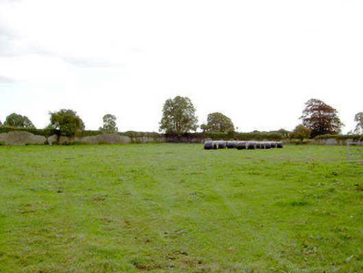
In low-lying pasture. A report in 1976 (SMR file) recorded a raised oval area (c. 47m NW-SE; c. 43m NE-SW) enclosed by a low bank of earth and stone with a shallow external fosse. There was a possible house site (LF023-01102-) within the S half of the interior. A portion of the rath at E had been destroyed due to quarrying. The rest of it has since been levelled and only its outline, marked by a poorly defined, low scarp (H 0.2m), is identifiable. The original entrance is not recognisable and the house site is no longer visible at ground level.
Compiled by: Patrick F. O'Donovan
Date of upload: 26 August 2011
The monument record does not grant public access. Check the route and ask the landowner before entering private land.
- What survives
- Recorded monument
Places near here
 Park Placewalled garden · 358 yd
 IndicatedFairy fort / earthen ringfort · 402 yd
 Mornin Castle (in Ruins)Castle, tower house · 773 yd
 Church (in Ruins)Church · 1275 yd
 DoonphilipCastle, motte · 1429 yd
 Kilbally Holy WellHoly well · 1.1 mi
 National Famine WayWalking route · 2.9 mi
 Newcastle WoodsForest · 3.5 mi
 Target WoodWood · 3.8 mi
 Craft WorkshopHeritage attraction · 4.3 mi
 Guest ServicesVisitor information · 4.3 mi
 Corlea Bog Walk Canal BranchWalking route · 4.5 mi