What is recorded here
Fairy fort in Mornin, County Longford: a 34m earthen ring on a gentle south-west slope, its low bank barely rising above the pasture. The surrounding ditch has filled, the entrance has vanished, and a separate rectangular scar lies beside it. Under the grass, that forgotten shape may still hold the heat of hands that built it, while cattle walk across the lives of its makers.
On a gentle SW-facing slope in pasture. A raised circular area (diam. c. 34m) enclosed by a low bank of earth and stone (Wth 2.3m; H 0.1-0.25m). A report in 1995 (SMR file) recorded traces of an external fosse, which has since been infilled. The original entrance was not recognisable. Adjoining it at W is a subrectangular area (22.4m NE-SW; 21.3m NW-SE) defined by a very low scarp (H 0.1-0.5m). It does not appear to be contemporary with the rath.
Compiled by: Patrick F. O'Donovan
Date of upload: 26 August 2011
The monument record does not grant public access. Check the route and ask the landowner before entering private land.
- What survives
- Recorded monument
Places near here
 Mornin Castle (in Ruins)Castle, tower house · 490 yd
 Kilbally Holy WellHoly well · 1150 yd
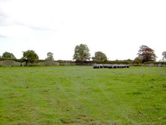 Park Placewalled garden · 1278 yd
 fort HachuredFairy fort / earthen ringfort · 1406 yd
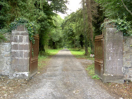 Doory Hallgates/railings/walls · 1645 yd
 DoonphilipCastle, motte · 1.4 mi
 National Famine WayWalking route · 2.6 mi
 Newcastle WoodsForest · 3.7 mi
 Corlea Bog Walk Canal BranchWalking route · 3.9 mi
 Target WoodWood · 4.0 mi
 Corlea Trackway Interpretative CentreHeritage attraction · 4.1 mi
 Graveyard in Curry (ardagh By., Coolamber Ed)Graveyard · 5.6 mi