What is recorded here
Half a mile of forgotten clay still marks the ghost of a fort on Mornin's low rise. The 1837 map drew a bold circle, but a 1976 report found plough blades had cut through half the bank, leaving only a pale semicircle of exposed clay to hint at the original shape. The earth swallowed the rest, erasing the fort from sight while preserving its boundary in a shallow scar beneath the grass.
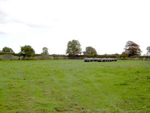
On a low rise in moderately drained pasture. Depicted as a circular enclosure with the designation 'Fort' on the 1837 ed. of the OS 6-inch map. A report in 1976 (SMR file) recorded that part of this rath (diam. c. 45m) had been recently ploughed. The outline of the bank was indicated by a semicircle of light-coloured clay. It is not visible at ground level.
Compiled by: Caimin O'Brien
Date of upload: 17 January 2012
The monument record does not grant public access. Check the route and ask the landowner before entering private land.
- What survives
- Recorded monument
Places near here
 Park Placewalled garden · 475 yd
 IndicatedFairy fort / earthen ringfort · 494 yd
 Mornin Castle (in Ruins)Castle, tower house · 873 yd
 Church (in Ruins)Church · 1268 yd
 DoonphilipCastle, motte · 1462 yd
 Kilbally Holy WellHoly well · 1.1 mi
 National Famine WayWalking route · 2.9 mi
 Newcastle WoodsForest · 3.6 mi
 Target WoodWood · 3.8 mi
 Craft WorkshopHeritage attraction · 4.4 mi
 Guest ServicesVisitor information · 4.4 mi
 Corlea Bog Walk Canal BranchWalking route · 4.6 mi