What is recorded here
Described by O. Davies in 1942 as a rath situated 'on limestone with generally good pasture. Restricted view. No fosse. The bank is 2 feet feet high outside and level inside. Centre level. Rath circ. 15 yds.'
The above description is derived from the published 'Archaeological Inventory of County Offaly' (Dublin: Stationery Office, 1997). In certain instances the entries have been revised and updated in the light of recent research.
Date of upload: 23 May 2011
The monument record does not grant public access. Check the route and ask the landowner before entering private land.
- What survives
- Recorded monument
Places near here
 Mound in MillbrookMound · 31 yd
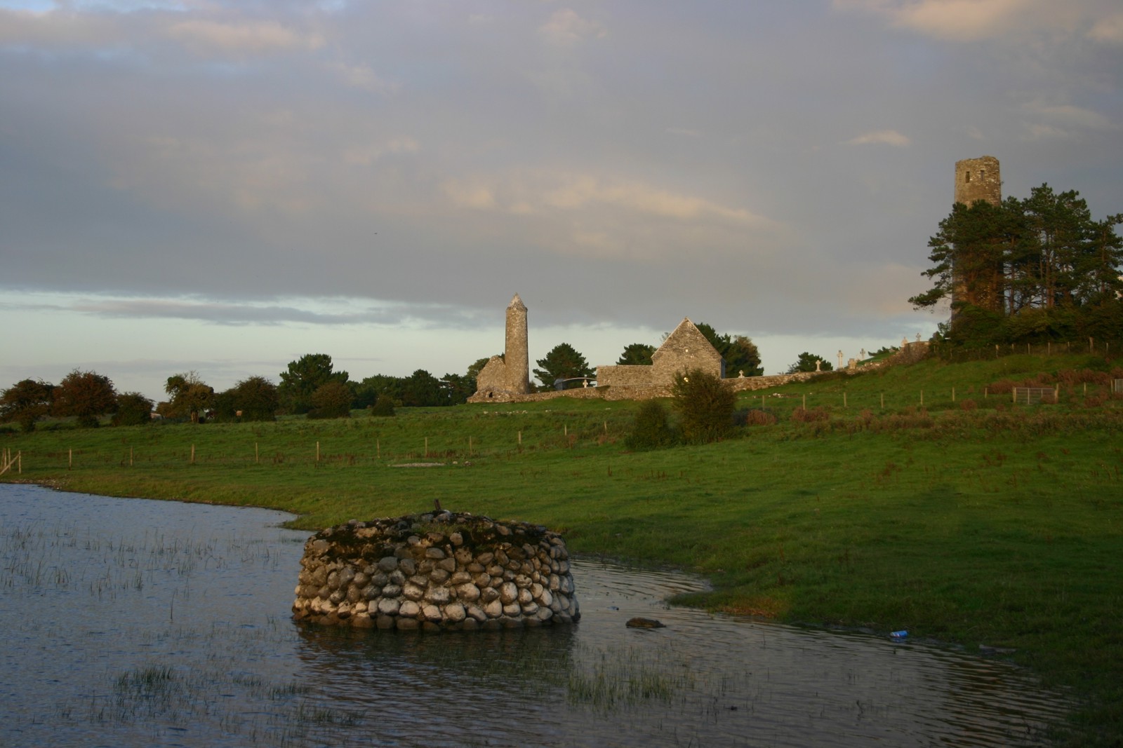 Abbey (in Ruins)Religious house, Augustinian canons · 188 yd
 forge/smithyforge/smithy · 244 yd
 Burial ground in KilleighBurial ground · 304 yd
 Mick the MillerMemorial · 308 yd
 Burnett's WoodForest · 936 yd
 Scrub HillMountain / peak · 1325 yd
 Red HillMountain / peak · 1.5 mi
 Derryad WoodForest · 1.6 mi
 Castle in ruinsCastle, unclassified · 2.4 mi
 Church (in Ruins), GraveyardChurch · 2.7 mi
 Castle Brack (in ruins)Castle, tower house · 2.7 mi