What is recorded here
Manning holds one of five ringforts on the western townland, its earthen bank and limestone rubble enclosing a circular space thirty-two metres across. The causewayed entrance faces south-southwest, while a steep rock face forms part of the boundary, suggesting people shaped the natural hill rather than fighting it. Scrub now chokes the exterior and parts of the interior, but the bank, fosse and outer rim remain distinct enough to show that this was a defended or marked domestic place, not a casual heap of stones.
In scrub, atop hill. Roughly circular area (32m N-S; 31m E-W) enclosed ENE->NNE by earthen bank, surmounted in places by limestone rubble wall (int. H 0.88m; ext. H 2.1m) faced in parts with large slabs; scarp (H 3.6m) elsewhere, formed by steep rock face. Intervening fosse and outer earthen bank (H 0.3m) ESE->NNE. Causewayed entrance through wall (Wth 0.85m) to SSW. Exterior and parts of interior heavily overgrown. One of a group of five ringforts (CO027-088---; CO027-089---; CO027-093---; C027-094---) at W side of townland.
The above description is derived from the published 'Archaeological Inventory of County Cork. Volume 4: North Cork' (Dublin: Stationery Office, 2000). In certain instances the entries have been revised and updated in the light of recent research.
Date of upload/revision: 14 January 2009
A fairy fort (ringfort/rath) in Manning, likely an early-medieval agricultural or defensive site, characterized by an earthen bank and limestone rubble wall with a pronounced scarp to the east. Local folklore associates such sites with supernatural beings, and they were often avoided or revered in traditional Irish belief.
The monument record does not grant public access. Check the route and ask the landowner before entering private land.
- What survives
- Recorded monument
Places near here
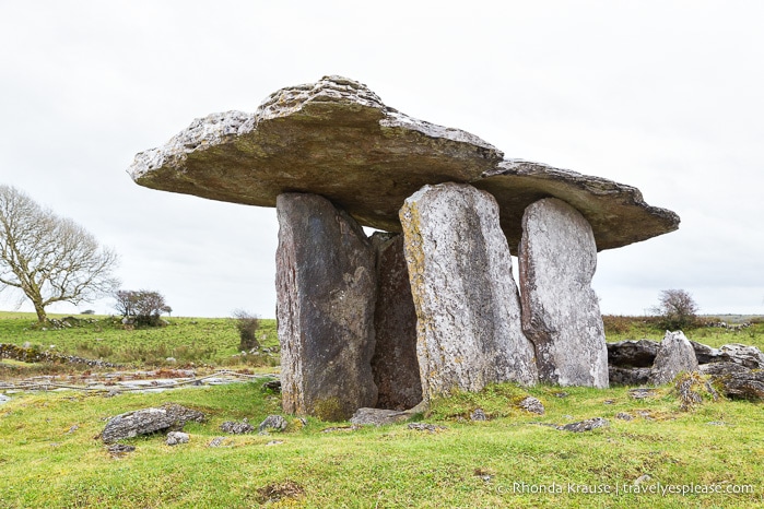 DolmenWedge tomb · 68 yd
 Man-made underground passageMan-made underground passage · 179 yd
 Manning HouseCountry house · 701 yd
 MillMill, unclassified · 804 yd
 Dunmahon Castle (in Ruins)Bawn · 1433 yd
 Glanworth CastleCastle · 1.0 mi
 St Dominick's WellSpring · 1.1 mi
 Graveyard in BoherashGraveyard · 1.1 mi
 Blackwater (Avondhu) WayWalking route · 4.5 mi
 Johnson's WoodForest · 4.6 mi
 Flat cemetery in Ballyenahan NorthFlat cemetery · 4.8 mi
 Priest's WoodForest · 4.8 mi