What is recorded here
Fairy fort in Manning, County Cork: a double-banked earthen ring on a steep knoll, with a causewayed entrance and cultivation ridges inside. It belongs to a small group of ringforts on the west side of the townland, likely a defended farmstead or local centre rather than a mere fairy tale. The name may be later folklore, but the shape is human: banks dug, entered, worked and remembered.
In pasture, atop knoll, steep sided to NW and N. Circular area (33m E-W; 28m N-S) enclosed by two earthen banks with intervening fosse. Inner bank (int. H 0.3m; ext. H 2.9m to base of fosse) with intervening fosse survives all round. Outer bank (int. H 0.7m to base of fosse; ext. H 1.8m) survives SSW->NE, fortifying steep slope of knoll. Level terrace outside outer bank to SW. Causewayed entrance (Wth 4.2m) to SSW. Interior slopes gently down to S; crossed by remains of cultivation ridges on N-S axis. One of a group of five ringforts (CO027-088---; CO027-089---; CO027-092---; CO027-093---) at W side of townland.
The above description is derived from the published 'Archaeological Inventory of County Cork. Volume 4: North Cork' (Dublin: Stationery Office, 2000). In certain instances the entries have been revised and updated in the light of recent research.
Date of upload/revision: 14 January 2009
The monument record does not grant public access. Check the route and ask the landowner before entering private land.
- What survives
- Recorded monument
Places near here
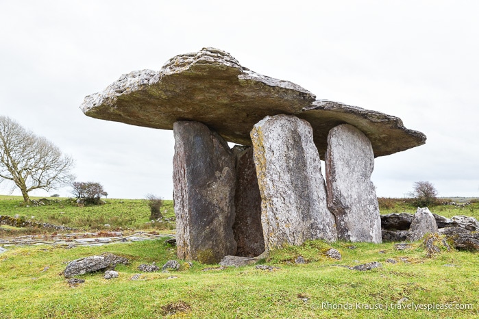 DolmenWedge tomb · 292 yd
 Man-made underground passageMan-made underground passage · 391 yd
 Manning HouseCountry house · 512 yd
 MillMill, unclassified · 590 yd
 Dunmahon Castle (in Ruins)Bawn · 1659 yd
 Glanworth CastleCastle · 1.1 mi
 St Dominick's WellSpring · 1.1 mi
 Graveyard in BoherashGraveyard · 1.2 mi
 Blackwater (Avondhu) WayWalking route · 4.5 mi
 Johnson's WoodForest · 4.5 mi
 Priest's WoodForest · 4.8 mi
 Flat cemetery in Ballyenahan NorthFlat cemetery · 4.9 mi