What is recorded here
Clearing stones at Mangerton may have built the fort, yet the fort still stands while human kingdoms and claimants forgot the work. Trees grow through the ring now, giving back to the hill what the field took from it. The fairy fort name does not mock the building, it completes the judgment: human pride built a small circle and left it, while the mountain kept the shape for itself.
In rough pasture, on the SE-facing slope of Mangerton Mountain. A circular area (25.4m E-W; 25.3m N-S) defined by an earth and stone bank (Wth 5.25m; int. H 1.4m; ext. H 1.45m) W-SSE and by a scarp elsewhere. There are possible entrances at SE and at W. Trees grow around the existing bank and in the interior. Field-clearance stones are dumped against the bank externally at NW and N. A possible hut site (KE085-006002-) abuts the bank along the N arc, externally. A possible Man-made underground passage (KE085-006001-) is associated with this rath.
The above description is derived from the published 'Archaeological Inventory of County Kerry. Volume I: South-West Kerry' (Dublin: Stationery Office, 2009). In certain instances the entries have been revised and updated in the light of recent research.
Date of upload: 30 May 2011
The monument record does not grant public access. Check the route and ask the landowner before entering private land.
- What survives
- Recorded monument
Places near here
 Enclosure in MangertonEnclosure · 571 yd
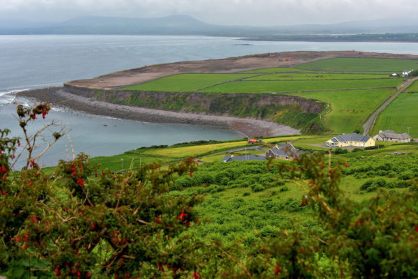 IndicatedEnclosure · 1030 yd
 Hidden Valley Pet FarmHeritage attraction · 1.3 mi
 KilnKiln, lime · 1.9 mi
 Coolanassig Br.Bridge · 2.0 mi
 Dromderalough NE TopMountain / peak · 2.2 mi
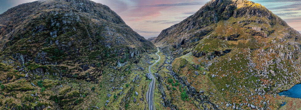 DromderaloughMountain / peak · 2.3 mi
 Great Southern & Western RailwayMemorial · 2.5 mi
 Castle (Site of)Castle, unclassified · 2.6 mi
 European YewEuropean Yew · 2.6 mi
 Battle of Callannbattle · 3.5 mi
 Kilgarvan Motor MuseumMuseum · 3.6 mi