What is recorded here
Mackan holds a faded earthen ring on a gentle slope, its shallow bank and hidden ditch marking a small fortified life long before written records. People may have stood inside that circle, watched the valley, raised children, and left the land believing the fort belonged to fairies because human memory had slipped away. The grass still covers the shape, but the line of the bank remains clear enough to walk, tying human hands and fairy story together in the same quiet place.
Situated on the SE-facing slope of a gentle rise. This is a grass-covered circular area (diam. 38m E-W; 37m N-S) defined by a slight bank (at N: Wth 4.3m; int. H 0.4m; ext. H 0.55m) SW-N-NE reduced to a low scarp (H 0.3m) elsewhere, and a fosse suggested by a band of lush vegetation (Wth 2m) at W. The original entrance is not identified.
The above description is derived from 'The Archaeological Inventory of County Leitrim' compiled by Michael J. Moore (Dublin: Stationery Office, 2003). In certain instances the entries have been revised and updated in the light of recent research.
Date of upload: 23 September 2008
The monument record does not grant public access. Check the route and ask the landowner before entering private land.
- What survives
- Recorded monument
Places near here
 Enclosure in DrumgeaglomEnclosure · 537 yd
 IndicatedEnclosure · 1007 yd
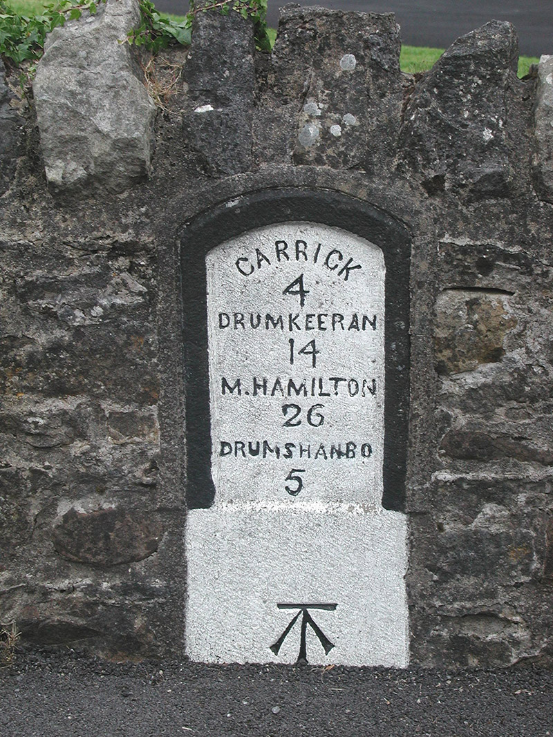 milestone/milepostmilestone/milepost · 1122 yd
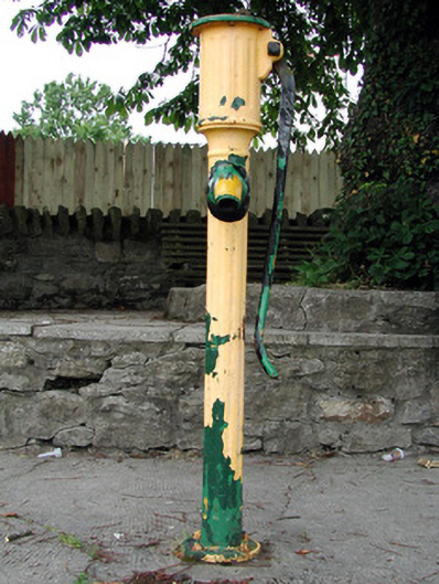 water pumpwater pump · 1307 yd
 Battle of Áth an Chipbattle · 1319 yd
 Shannon-Erne WaterwayVisitor information · 1333 yd
 Sit of Breifny CastleCastle, tower house · 1358 yd
 InishnagonIsland · 1755 yd
 PortCastle, unclassified · 1.6 mi
 Leabaidh DermotCave · 1.8 mi
 Sheemore Ambush MemorialMonument · 2.2 mi
 Derreenargan WoodWood · 2.9 mi