What is recorded here
Half-hidden in pasture grass on a south-facing slope in Lyradane, the fort keeps its shape through two earthen banks and a broken northern gap. It is large enough to hold livestock, people or memory, yet small enough that the land still owns most of it. The missing inner bank and grass-covered centre suggest occupancy rather than display: someone lived there, left a hole in the world, and walked on.
In pasture, on S-facing slope. Roughly circular area (30m E-W; 27.5m N-S) defined by two earthen banks with intervening fosse; distance between banks variable (Wth 9.5m-15m). Inner bank (int. H 0.7m) survives NNW->W; outer bank (H 1.7m) exists all round. Break in outer bank to N; second gap through both banks SE->SSE. Interior grass-covered.
The above description is derived from the published 'Archaeological Inventory of County Cork. Volume 3: Mid Cork' (Dublin: Stationery Office, 1997). In certain instances the entries have been revised and updated in the light of recent research.
Date of upload/revision: 14 January 2009
The monument record does not grant public access. Check the route and ask the landowner before entering private land.
- What survives
- Recorded monument
Places near here
 EnclosureEnclosure, large enclosure · 892 yd
 Grave YdGraveyard · 1022 yd
 Castle (Site of)Castle, Anglo-Norman masonry castle · 1265 yd
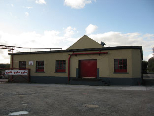 Rathduff Creamerycreamery · 1391 yd
 St Laghteen's Roman Catholic Churchchurch/chapel · 1407 yd
 Rock HillMountain / peak · 1.2 mi
 Lyradane MountainMountain / peak · 1.6 mi
 Pairc Ath Na hEornaMemorial · 2.6 mi
 Graveyard in KilmonaGraveyard · 2.7 mi
 St John's WellSpring · 3.2 mi
 Garrycloyne Castle (in Ruins)Castle, tower house · 3.7 mi
 Cork WalksVisitor information · 10 mi