What is recorded here
Fairy fort in Lyradane, County Cork: earthen ringfort, roughly circular, about 35m across, on a south-facing pasture slope. Mapped in 1842, still showing a south scarp of up to 6ft when visited before 1965 land reclamation; the north half had already merged into field fences. People may have lived there, herded there, or simply kept clear of it, which is what fairy forts still invite you to wonder about.
In pasture, on S-facing slope. Depicted as hachured, roughly circular enclosure (diam. c. 35m) on 1842 OS 6-inch map; N half incorporated into field fence system and S half defined by scarp on 1904 and 1938 OS 6-inch maps. Visited prior to land reclamation in 1965 (OPW); survived as depicted on OS 6-inch map with scarp on S side measuring a maximum height of 6ft. Earthen, partially stone-faced field fence to N may incorporate part of original bank with low rise marking line of levelled bank to S (diam. c. 30m). Laneway skirts enclosure on N side.
The above description is derived from the published 'Archaeological Inventory of County Cork. Volume 3: Mid Cork' (Dublin: Stationery Office, 1997). In certain instances the entries have been revised and updated in the light of recent research.
Date of upload/revision: 14 January 2009
The monument record does not grant public access. Check the route and ask the landowner before entering private land.
- What survives
- Recorded monument
Places near here
 EnclosureEnclosure, large enclosure · 809 yd
 Grave YdGraveyard · 871 yd
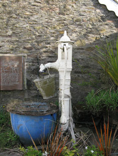 water pumpwater pump · 1324 yd
 St Laghteen's Roman Catholic Churchchurch/chapel · 1328 yd
 Castle (Site of)Castle, Anglo-Norman masonry castle · 1425 yd
 Rock HillMountain / peak · 1.2 mi
 Lyradane MountainMountain / peak · 1.4 mi
 Pairc Ath Na hEornaMemorial · 2.6 mi
 Graveyard in KilmonaGraveyard · 2.8 mi
 St John's WellSpring · 3.5 mi
 Garrycloyne Castle (in Ruins)Castle, tower house · 3.7 mi
 New TipperaryVisitor information · 5.2 mi