What is recorded here
Fairy fort in Lurganaveele, County Cavan, is a raised circular area about 31m across, enclosed by a substantial earthen bank. A modern roadway borders part of the site, and a field drain may follow the line of the former fosse. The entrance may have faced northeast or southeast. People once called it a fairy fort, as if the land still belonged to something unseen.
Raised circular area (int. diam. c. 31m) enclosed by a substantial earthen bank. From SSE-WSW the site is bordered by a modern roadway. A field drain which lies between the bank and the roadway may follow the line of the former fosse. Original entrance may have been at NE or SE.
The above description is derived from the published 'Archaeological Inventory of County Cavan' (Dublin: Stationery Office, 1995). In certain instances the entries have been revised and updated in the light of recent research.
Date of upload/revision: 22 December 2008
The monument record does not grant public access. Check the route and ask the landowner before entering private land.
- What survives
- Recorded monument
Places near here
 CarnagarveMountain / peak · 890 yd
 Tullynaskeagh WestForest · 1.2 mi
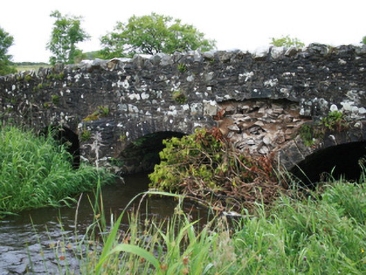 Christy's Bridgebridge · 1.3 mi
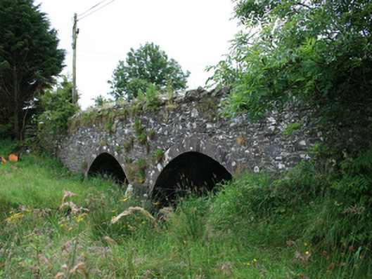 Wilton Bridgebridge · 1.5 mi
 Holy well in CrossbaneHoly well · 1.5 mi
 Hilltop enclosure in CrossbaneHilltop enclosure · 1.5 mi
 CarnalynchMountain / peak · 1.5 mi
 MoatCastle, motte and bailey · 1.6 mi
 Tullynaskeagh EastForest · 1.6 mi
 Birthplace of General Philip SheridanMemorial · 2.3 mi
 Sit of Old CastleCastle, unclassified · 3.2 mi
 Carraig-na-SasanacNamed rock · 3.5 mi