What is recorded here
Marked faintly as a rectangular structure (dims c. 10m N-S; c. 5m E-W) and described in italic lettering as 'Site of Old Castle' on the 1835 ed. of the OS 6-inch map, but is not marked on subsequent eds. Nor is it marked on the Down Survey (1656-8) barony map at Killeter (42) or Clovevria (52), for which see this web-page accessed on 13/04/2016. http://downsurvey.tcd.ie/down-survey-maps.php#bm=Castlerahan&c=Cavan
Situated on a slight natural rise close to a river which forms part of the Cavan/Meath border. Davies (1948a, 105-6) speculated that the castle probably belonged to Sir John Elliott who was assigned the estate of Kilcronehan under the Plantation. There are no visible remains at ground level.
Marked faintly as a rectangular structure (dims c. 10m N-S; c. 5m E-W) and described in italic lettering as 'Site of Old Castle' on the 1835 ed. of the OS 6-inch map, but is not marked on subsequent eds. Nor is it marked on the Down Survey (1656-8) barony map at Killeter (42) or Clovevria (52), for which see this web-page accessed on 13/04/2016. http://downsurvey.tcd.ie/down-survey-maps.php#bm=Castlerahan&c=Cavan…
From the National Monuments Service (Archaeological Survey of Ireland) record CV040-009
This remains an important historical record, but the official description says the monument is no longer visible or has been destroyed. The monument record does not grant public access. Check the route and ask the landowner before entering private land.
- What survives
- No visible remains or recorded as destroyed
Places near here
Photo credits
- National Inventory of Architectural Heritage
- Wanfried-Dublin, Wikimedia Commons · CC BY 4.0
- Kieran Campbell, Geograph · Creative Commons Attribution-ShareAlike 2.0
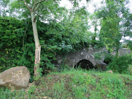 Skearke BridgeBridge · 238 yd
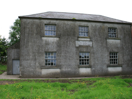 Killeter National SchoolSchool · 1103 ydCastleCastle, tower house · 1605 ydCornaglare or PalmiraMountain / peak · 1.4 miGreen IslandWood · 1.5 miSally IslandIslet · 1.5 mi
.jpg/250px-Rantavan-Mullagh_(2).jpg "Photo: Wanfried-Dublin, Wikimedia Commons · CC BY 4.0") Ogham stone (present location) in MullaghOgham stone (present location) · 1.6 mi
Ogham stone (present location) in MullaghOgham stone (present location) · 1.6 mi Grave YardGraveyard · 1.6 miCrow IslandIslet · 1.6 miCastleCastle, unclassified · 2.0 miCloghballybeg ForestForest · 2.0 miCloghbally LowerMountain / peak · 2.4 mi
More castles and forts in County Cavan · All of County Cavan
What do you know about this place?