
What is recorded here
Situated on the spine of a NW-SE drumlin ridge towards the SE end. It is described as a 'fort' and 'Old Burial Ground' in gothic lettering on the on OS 1836 and 1908 editions of the OS 6-inch map. This is a large pear-shaped or D-shaped area (int dims. c. 85m NNE-SSW; c. 72m ENE-WSW) defined by a substantial, although partly denuded, earthen bank (at N: int. H 1m; ext. H 2-2.5m). The NE quadrant is separated from the remainder of the site by portion of a dividing wall (L c. 33m) comprising a single-row of boulders laid end to end extending from the centre. Davies (1948, 115) records that 'The area thus enclosed, hardly a quarter of the rath, is believed to be a graveyard and the site of a church'. Also within the enclosure is the site of a well (CV040-021002-) which has been infilled (local information).
The above description is derived from the published 'Archaeological Inventory of County Cavan' (Dublin: Stationery Office, 1995). In certain instances the entries have been revised and updated in the light of recent research.
Date of revision: 28 August 2017
A local fairy fort (ringfort/rath); wider significance not recorded.
The monument record does not grant public access. Check the route and ask the landowner before entering private land.
- What survives
- Recorded monument
Places near here
 Holy well in CrossbaneHoly well · 33 yd
 Saint Mary's Catholic Churchchurch/chapel · 518 yd
 Cornaglare or PalmiraMountain / peak · 1.3 mi
 Ardlow National Schoolschool · 1.6 mi
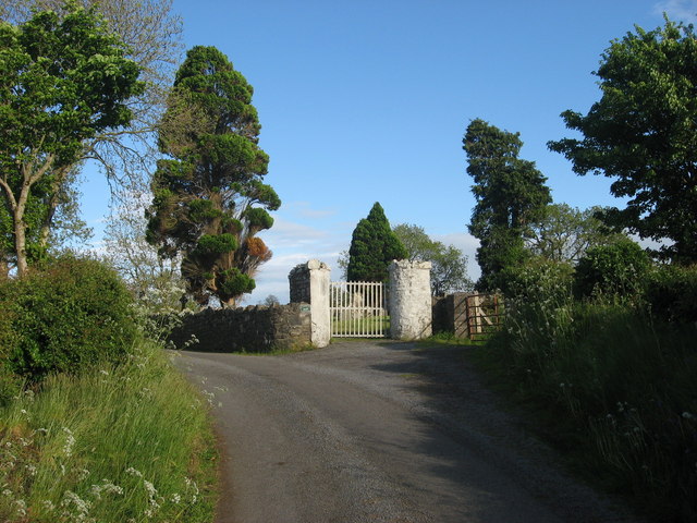 Grave YardGraveyard · 1.7 mi
 EnaghMountain / peak · 1.7 mi
 Birthplace of General Philip SheridanMemorial · 2.4 mi
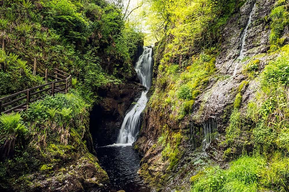 Annagharnet North ForestForest · 2.5 mi
 Sit of Old CastleCastle, unclassified · 2.6 mi
 Tullynaskeagh WestForest · 2.6 mi
 The Big Man's GraveArchaeological place · 2.8 mi
 Carraig-na-SasanacNamed rock · 2.9 mi
Other information
Photo: Credit not shown in the picture search · Rights wording not checked; contact us if this picture should be removed