What is recorded here
Fairy fort / earthen ringfort in Loughglinn Demesne is a fairy fort or earthen ringfort in Loughglinn Demesne, County Roscommon, Ireland. It occupies the crest of a broad east-west ridge and appears only on the 1914 Ordnance Survey six-inch map. The subcircular grass-covered area measures about 56 metres east-west and 49.5 metres north-south, bounded by remains of a fosse with a top width of 6.7 to 10.3 metres and base width of 3.8 to 4.4 metres. A wide entrance was once noted at the east-southeast but can no longer be seen.
Marked only on the 1914 ed. of the OS 6-inch map, and situated on the crest of a broad E-W ridge. Subcircular grass-covered area (dims 56m E-W; 49.5m N-S) defined by the remains of a fosse (Wth of top 6.7-10.3m; Wth of base 3.8-4.4m; int. D 0.4m; ext. D 0.1-0.5m). A wide entrance was noted at ESE (Gannon 1972), but cannot be seen now (max. ext. dims 73m E-W; 65.5m N-S).
Compiled by: Michael Moore
Date of upload: 24 August 2010
The monument record does not grant public access. Check the route and ask the landowner before entering private land.
- What survives
- Recorded monument
Places near here
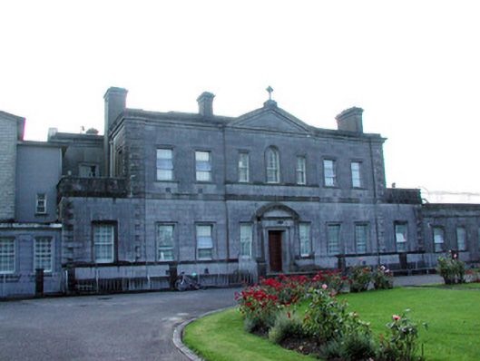 Loughglinn Housecountry house · 515 yd
 LisheenFairy fort / earthen ringfort · 1031 yd
 St Bridgets WellHoly well · 1180 yd
 TowerCastle, tower house · 1444 yd
 Catholic Church of Our Lady of Good Counselchurch/chapel · 1525 yd
 Druminagh WoodForest · 1.0 mi
 Fairymount HillMountain / peak · 2.5 mi
 Clonalis HouseMuseum · 3.7 mi
 CastleCastle, unclassified · 3.7 mi
 Coolougher WoodForest · 5.4 mi
 Workhouse MemorialMemorial · 5.4 mi
 Silver IslandIslet · 5.6 mi