What is recorded here
Fairy fort / earthen ringfort in Lohort West is a levelled earthen ringfort in County Cork, Ireland. It is a roughly circular raised area about 34m north-south and 32m east-west in level pasture. The uneven interior and faint surviving shape suggest people once lived, worked or kept animals inside the bank. The wide flat setting still makes the lost enclosure easy to imagine.
In level pasture. Depicted as hachured circular area (diam. c. 35m) on 1842 OS 6-inch map; as hachured circular raised area (diam. c. 30m) on 1937 OS 6-inch map. Levelled; roughly circular slightly raised area (34m N-S; 32m E-W) survives; interior surface uneven. Circular enclosure visible as cropmark of bank in aerial photograph (CASAP, 28-06-1984); and as cropmark of fosse in second aerial photograph (CASAP, 24-07-1989). Possibly site recorded by Bowman (1934, 57) as levelled single-ramparted fort (diam. c. 32yd) on Mrs Cott's land.
The above description is derived from the published 'Archaeological Inventory of County Cork. Volume 4: North Cork' (Dublin: Stationery Office, 2000). In certain instances the entries have been revised and updated in the light of recent research.
Date of upload/revision: 14 January 2009
The monument record does not grant public access. Check the route and ask the landowner before entering private land.
- What survives
- Recorded monument
Places near here
 Fulacht fia in Castlelohort DemesneFulacht fia · 445 yd
 IndicatedEnclosure · 497 yd
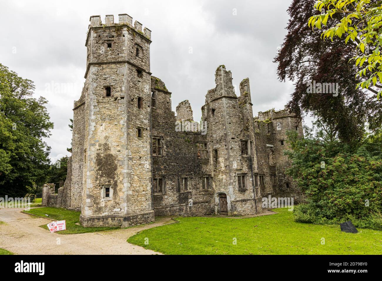
 Lohort CastleCastle, tower house · 588 yd
 Ballygiblin Housegates/railings/walls · 1308 yd
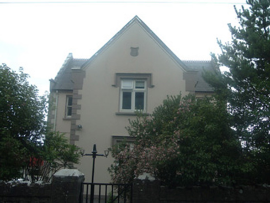 schoolschool · 1613 yd
 Graveyard in Ballygiblin (duhallow By.)Graveyard · 1668 yd
 Castle Magner (in Ruins)Bawn · 1.1 mi
 European YewEuropean Yew · 2.2 mi
 Burial ground in AssolasBurial ground · 2.4 mi
 Dromaneen CastleHeritage attraction · 3.5 mi
 St Fursey's WellSpring · 3.8 mi
 Mount Hillary - Knightfield LoopWalking route · 4.0 mi