What is recorded here
Half-hidden under grass and brambles, the ringfort in Lisseeghan keeps its shape on a gentle slope, a wide earthen bank circling a space large enough for a small household. People may have lived there, loved there, and vanished without leaving a mark the later tests could find. The fairies, according to local story, took the fort from them, which is either a jest or a warning about how quickly human certainty can disappear.
Situated on a gentle SW-facing slope. This is an overgrown circular area (diam. 26m NW-SE) defined by an intermittently visible earthen bank (at N: Wth 4m; int. H 0.2m; max. ext. H 1m) and a slight external fosse (at N: Wth 2m; ext. D 0.2m). The original entrance is not identified. Archaeological testing (94E0171) just to the W on the line of the N4 road failed to record any related material (Opie 1995h).
The above description is derived from 'The Archaeological Inventory of County Leitrim' compiled by Michael J. Moore (Dublin: Stationery Office, 2003). In certain instances the entries have been revised and updated in the light of recent research.
Date of upload: 23 September 2008
The monument record does not grant public access. Check the route and ask the landowner before entering private land.
- What survives
- Recorded monument
Places near here
 Ecclesiastical enclosure in AttiroryEcclesiastical enclosure · 866 yd
 LisduffFairy fort / earthen ringfort · 1030 yd
 R. C. ChapelChurch · 1420 yd
 CastlecarraCastle, unclassified · 1.0 mi
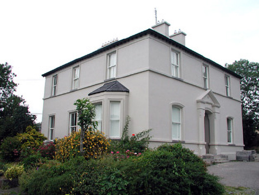 The Rectoryrectory/glebe/vicarage/curate's house · 1.1 mi
 Moon RiverHeritage attraction · 1.3 mi
 Patrick Gill Memorial Plaque (IRA)Monument · 2.4 mi
 Robert Strawbridge MemorialMemorial · 2.4 mi
 Wildlife AreaNature reserve · 2.6 mi
 PortCastle, unclassified · 2.8 mi
 Hughestown WoodForest · 3.9 mi
 Leabaidh DermotCave · 4.3 mi