
What is recorded here
Situated in a low-lying position between drumlins. This is an overgrown circular area (diam. c. 35m) defined by an earthen bank (at N: Wth of base 2.2m; int. H 0.4m; ext. H 0.75m) and an external flat-bottomed fosse (at N: Wth 3.5m; ext. D 0.3m). The original entrance is not identified, and field banks are attached to the perimeter at N, NE, SE and SW.
The above description is derived from 'The Archaeological Inventory of County Leitrim' compiled by Michael J. Moore (Dublin: Stationery Office, 2003). In certain instances the entries have been revised and updated in the light of recent research.
Compiled by: Michael Moore
Date of revised upload: 15 October 2019
Lisduff is a likely early-medieval ringfort, characterised by an earthen bank and external fosse, typical of agricultural and defensive settlements of the period. Local folklore, common to many such sites in Ireland, associates it with the fairies, though specific traditions connected to this site are not recorded.
The monument record does not grant public access. Check the route and ask the landowner before entering private land.
- What survives
- Recorded monument
Places near here
 R. C. ChapelChurch · 390 yd
 Enclosure in GarvloughEnclosure · 522 yd
 IndicatedFairy fort / earthen ringfort · 982 yd
 CastlecarraCastle, unclassified · 1276 yd
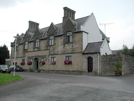 Summerhill Lodgeworkhouse administration block · 1.3 mi
 Moon RiverHeritage attraction · 1.7 mi
 Patrick Gill Memorial Plaque (IRA)Monument · 2.3 mi
 Robert Strawbridge MemorialMemorial · 2.3 mi
 PortCastle, unclassified · 2.4 mi
 Wildlife AreaNature reserve · 2.6 mi
 Leabaidh DermotCave · 3.7 mi
 Hughestown WoodForest · 4.2 mi
Other information
Photo: Credit not shown in the picture search · Rights wording not checked; contact us if this picture should be removed