
What is recorded here
The Roman Catholic church of Lisduff is within the rath (LE031-020001-) and it is described as such on the 1835 edition of the OS 6-inch map. It later became a school, and there is a local story that it was attacked by the military during the War of Independence in the course of a dance. This is a rectangular, roofed building (int. dims 18m NW-SE; 4.8m NE-SW) with two doorways and four windows in the SW wall, two windows in the NE, and one each in the NW and SE walls. It has an inserted wall from when it was converted into a school in 1882, which date is over one of the doorways. It is now used as a cow-shed.
Compiled by Caimin O'Brien
Date of upload: 18 October 2010
Revised: 15 October, 2019
The Roman Catholic chapel at Lisduff was built within a rath, likely during the 19th century, and is recorded on the 1835 OS 6-inch map; its later use as a school reflects changing community needs, though its original dedication or architectural style is not specified.
The monument record does not grant public access. Check the route and ask the landowner before entering private land.
- What survives
- Recorded monument
Places near here
 Enclosure in GarvloughEnclosure · 331 yd
 IndicatedFairy fort / earthen ringfort · 389 yd
 CastlecarraCastle, unclassified · 1252 yd
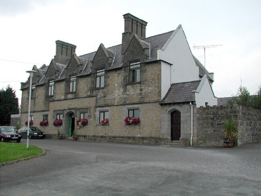 Summerhill Lodgeworkhouse administration block · 1.5 mi
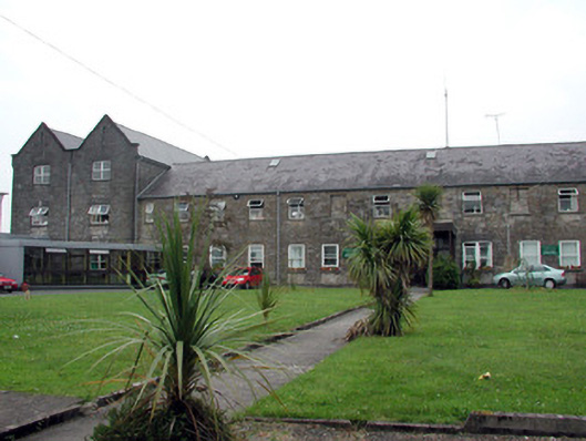 Saint Patrick's Hospitalworkhouse · 1.5 mi
 Moon RiverHeritage attraction · 1.9 mi
 Patrick Gill Memorial Plaque (IRA)Monument · 2.3 mi
 Declaration of IndependenceMemorial · 2.3 mi
 PortCastle, unclassified · 2.3 mi
 Wildlife AreaNature reserve · 2.6 mi
 Shannon-Erne WaterwayVisitor information · 3.0 mi
 Leabaidh DermotCave · 3.5 mi
Other information
Photo: Credit not shown in the picture search · Rights wording not checked; contact us if this picture should be removed