What is recorded here
Fairy fort in Lissavruggy, County Galway: a 40-metre earthen ring in low grassland, its bank and ditch still drawing a line around forgotten life. A gap at southeast may be the entrance, while a small pond at north-east has swallowed part of the edge. People may have lived there, herded there, or fled rain there before becoming a fairy name.
In low-lying grassland. Circular rath (D c. 40m), in fair condition, defined by a bank and external fosse, with traces of a possible outer bank from NW to N. The inner bank survives from ESE through W to N; elsewhere a scarp forms the enclosing element. Gap at SSE could be original. A small pond overlies the enclosing elements at NNE.
The above description is derived from the published 'Archaeological Inventory of County Galway Vol. II - North Galway'. Compiled by Olive Alcock, Kathy de hÓra and Paul Gosling (Dublin: Stationery Office, 1999).
Date of upload: 05 August 2010
The monument record does not grant public access. Check the route and ask the landowner before entering private land.
- What survives
- Recorded monument
Places near here
 St Brendans Grave & WellHoly well · 793 yd
 Quarry in Ballynacorra (ffrench)Quarry · 837 yd
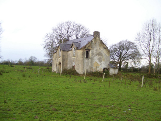 Saint Brendan's Househouse · 933 yd
 LisnafarnogaFairy fort / earthen ringfort · 2.5 mi
 Cloonavihony WoodForest · 2.7 mi
 Mount MaryMountain / peak · 2.8 mi
 Site of Ballygar CastleArchaeological place · 2.8 mi
 Aughrane WoodsForest · 3.0 mi
 Castle KellyCastle, tower house · 3.3 mi
 Ballinlass Eviction MemorialMemorial · 3.4 mi
 Sally IslandIslet · 4.4 mi
 Inch IslandIsland · 7.6 mi