What is recorded here
In level grassland. Poorly preserved circular rath (D c. 31.5m) defined by a bank and external fosse, no visible surface trace of which survives from WSW through N to NE where a road cuts the monument. A quarry encroaches upon it from NE to E. II - North Galway'.
From the National Monuments Service (Archaeological Survey of Ireland) record GA033-025
The monument record does not grant public access. Check the route and ask the landowner before entering private land.
- What survives
- Recorded monument
Places near here
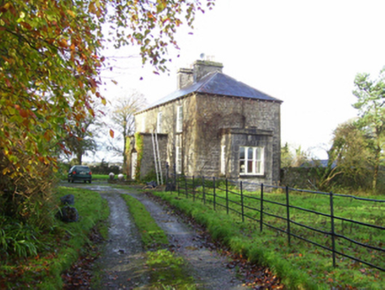 The RectoryRectory/glebe/vicarage/curate's house · 1.0 mi
 The RectoryGate lodge · 1.1 mi
 Kellys MonumentMonumental structure · 1.5 mi
_-_geograph.org.uk_-_4071504.jpg/250px-Castles_of_Connacht,_Castle_Ffrench,_Galway_(1)_-_geograph.org.uk_-_4071504.jpg "Photo: Mike Searle, Wikimedia Commons · CC BY-SA 2.0") Tower (in Ruins)Castle, tower house · 3.9 mi
Tower (in Ruins)Castle, tower house · 3.9 mi Castle ffrenchCastle, unclassified · 4.0 miSally IslandIslet · 4.0 miMount MaryMountain / peak · 4.1 miBallinlass Eviction MemorialMemorial · 5.1 miInch IslandIsland · 5.3 mi
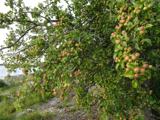 European Crab Apple5.7 mi
 Stone sculptureStone sculpture, aniconic · 5.9 mi
 European Yew7.4 mi
Pictures: National Inventory of Architectural Heritage; AmandaMcCrann, Wikimedia Commons · CC BY-SA 4.0; Mike Searle, Wikimedia Commons · CC BY-SA 2.0; Mike Searle, Geograph · CC BY-SA 2.0; Kk, Wikimedia Commons · CC0; Sarah777 at en.wikipedia, Wikimedia Commons · Public domain; Sitomon, Wikimedia Commons · CC BY-SA 2.0
More archaeology and monuments in County Galway · All of County Galway
What do you know about this place?