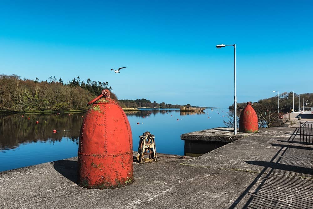
What is recorded here
In pastureland. A roughly subrectangular hachured feature (NNW-SSE c. 20m; E-W c. 11m) marked on the 1931 edition of the OS 6-inch map proved on inspection in 1984 to be a disused sand pit defined by a hollow. Probably of 19th/20th century date.
Compiled by: Olive Alcock
Date of upload: 1 October 2014
The monument record does not grant public access. Check the route and ask the landowner before entering private land.
- What survives
- Recorded monument
Places near here
 St Brendans Grave & WellHoly well · 720 yd
 Quarry in Ballynacorra (netterville)Quarry · 1259 yd
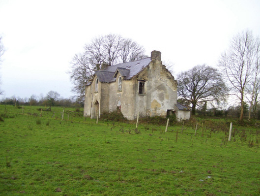 Saint Brendan's Househouse · 1371 yd
 LisnafarnogaFairy fort / earthen ringfort · 2.2 mi
 Cloonavihony WoodForest · 2.5 mi
 Site of Ballygar CastleArchaeological place · 2.6 mi
 Aughrane WoodsForest · 3.0 mi
 Castle KellyCastle, tower house · 3.2 mi
 Mount MaryMountain / peak · 3.2 mi
 Ballinlass Eviction MemorialMemorial · 3.4 mi
 Sally IslandIslet · 4.5 mi
 Inch IslandIsland · 7.2 mi
Other information
Photo: Credit not shown in the picture search · Rights wording not checked; contact us if this picture should be removed