What is recorded here
An earthen ringfort in Lissanure still holds its shape inside wet pasture, marked as a fort on the 1837 map. Its low bank and narrow ditch surround a raised rectangular area about forty-two metres long, though modern drainage has cut through part of the circuit. The entrance has vanished, but the fort remains visible enough to walk around and imagine the lives that shaped it.
In wet, low-lying pasture. Depicted as an oval enclosure with the designation 'Fort' on the 1837 ed. of the OS 6-inch map. A raised subrectangular area (c. 42m NE-SW; c. 30m NW-SE) enclosed from S-W-N by a low bank of earth and stone (Wth 2.6m; H 0.4-0.5m) with an external fosse (Wth 2m; D 0.6m) that may have been recut in modern times. Elsewhere the defining element is a scarp (H 0.5m). From E-SE-SSE the circuit of the scarp has been straightened and there is a modern field drain at its base. The original entrance is not recognisable.
Compiled by: Patrick F. O'Donovan
Date of upload: 17 January 2011
The monument record does not grant public access. Check the route and ask the landowner before entering private land.
- What survives
- Recorded monument
Places near here
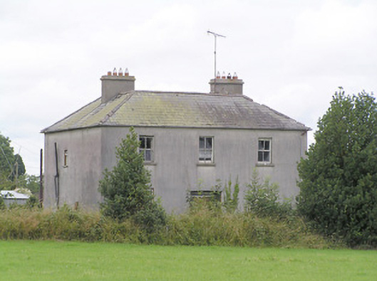 Lissanure Househouse · 719 yd
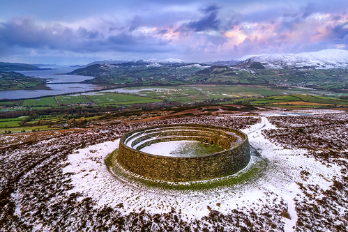 Ancient Ring FortArchaeological place · 1381 yd
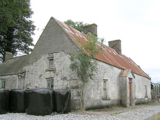 Cornaparkhouse · 1492 yd
 Mound in KilsallaghMound · 1736 yd
 Silver FirSilver Fir · 1.1 mi
 MoatCastle, motte · 1.5 mi
 MoatawardCastle, motte and bailey · 1.6 mi
 Sweet ChestnutSweet Chestnut · 1.8 mi
 Edgeworthstown BypassMemorial · 2.3 mi
 Granard MotteMotte-and-bailey castle remains · 8.1 mi
 1798 Monumentmonument · 8.2 mi
 First World War MemorialMemorial · 10.0 mi