What is recorded here
Fairy forts are human remains misread through fear and wonder. In Lissanalta, a shallow ditch and low scarped bank mark a small circular home on a sunny knoll, now choked with scrub and grazed by cattle. People may have lived there, watched the eastern horizon, and disappeared into ordinary time until the shape became a fairy tale.
Situated on a slight natural knoll, on the E-facing slope of a gentle hill, in rolling pasture with good views to E and S. The monument, depicted on the 1924 OS 6-inch map as a circular area (diam. c. 35m N-S) defined by a scarped edge, is now largely obscured by dense scrub vegetation. It is evident as a circular area defined by a scarped edge (Wth 2.15m; H 0.6m), with a shallow external fosse (Wth 1.2m; D 0.2m), the whole enclosed by the remains of a dry-stone wall. The scarped edge has been eroded by vegetation and cattle in places. The interior is level.
Compiled by: Denis Power
Date of upload: 25 April 2013
The monument record does not grant public access. Check the route and ask the landowner before entering private land.
- What survives
- Recorded monument
Places near here
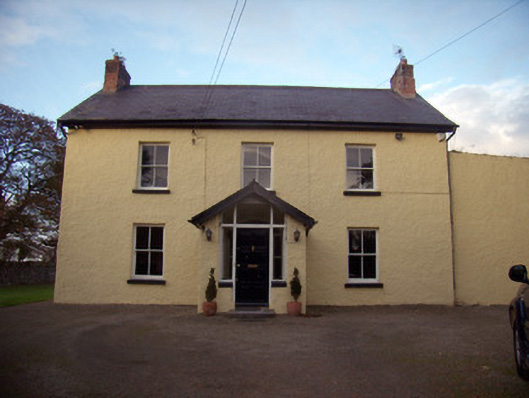 Orchard Househouse · 1033 yd
 Enclosure in RoxboroughEnclosure · 1141 yd
 Cahervally Houserectory/glebe/vicarage/curate's house · 1188 yd
 Grave YardGraveyard · 1218 yd
 CastleCastle, ringwork · 1.1 mi
 Castle FieldCastle, unclassified · 1.5 mi
 King's IslandIsland · 4.8 mi
 Fountain SculptureHeritage attraction · 5.5 mi
 Visitor CentreVisitor information · 5.5 mi
 Campus MapVisitor information · 5.5 mi
 Sailors HaggardMemorial · 6.1 mi
 Grass IslandIslet · 8.7 mi