
What is recorded here
Situated on a low rise in gently undulating pasture with good views to N, E and S. Indicated with hachures on the 1924 OS 6-inch map as an oval area (c. 50m N-S; 40m E-W) enclosed by a bank and surrounded by a field wall, enclosing a wooded area. The monument is not visible at ground level.
A local fairy fort (ringfort/rath); wider significance not recorded.
The monument record does not grant public access. Check the route and ask the landowner before entering private land.
- What survives
- Recorded monument
Places near here
 CastleCastle, unclassified · 1034 yd
 Mound in RoxboroughMound · 1106 yd
 Ballyclogh Househouse · 1375 yd
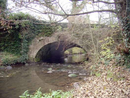 Roxborough Bridgebridge · 1531 yd
 Enclosure in Parkroe (clanwilliam By.)Enclosure · 1534 yd
 Lickadoon Castle (in ruins)Castle, tower house · 1.5 mi
 Visitor CentreVisitor information · 4.9 mi
 Fountain SculptureHeritage attraction · 4.9 mi
 Campus MapVisitor information · 4.9 mi
 Sailors HaggardMemorial · 6.2 mi
 Graveyard in AbingtonGraveyard · 8.6 mi
 Grass IslandIslet · 8.9 mi
Other information
Photo: Credit not shown in the picture search · Rights wording not checked; contact us if this picture should be removed