What is recorded here
Lissanalta lost its circular fort to the plough, erasing a boundary that resisted human time. The earth may have swallowed the stones, but the shape remains in the story, waiting for patience rather than tools. What disappeared from the field did not vanish from the world; it moved into the layer where imagination and memory still build.
Situated on a gentle NE down-slope in undulating pasture. The monument, depicted as a circular enclosure (diam. c. 30m) on the 1841 map, has been levelled and was not evident on the ground when inspected.
Compiled by: Denis Power
Date of upload: 24 April 2013
The monument record does not grant public access. Check the route and ask the landowner before entering private land.
- What survives
- Recorded monument
Places near here
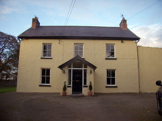 Orchard Househouse · 694 yd
 Church (in ruins)Church · 746 yd
 Grave YardGraveyard · 755 yd
 Enclosure in RoxboroughEnclosure · 1631 yd
 CastleCastle, ringwork · 1.0 mi
 Castle FieldCastle, unclassified · 1.3 mi
 Sailors HaggardMemorial · 6.2 mi
 Grass IslandIslet · 8.8 mi
 Maiden RockNamed rock · 9.0 mi
 Graveyard in AbingtonGraveyard · 9.4 mi
 Mellon PointHeadland · 9.7 mi
 Bunratty Castlehouse · 10.0 mi