What is recorded here
Situated on slight rise in gently undulating pasture. A steep natural N-facing slope abuts the edge of the rath NNW-NE. Circular area (diam. 25m) enclosed by a slight bank of earth (Wth 3.2m; int. H 0.3m). No fosse visible. Where the rath abuts the natural slope to the N of the site, there are only trace remains of the bank visible as a band of lighter coloured grass NNW-NE. A break (Wth 1.2m) in the bank at SSE marks the position of the original entrance. The blocked entrance to a Man-made underground passage (SL005-098002-) is located on the N side of the interior.
Compiled by: Patrick F. O'Donovan
Date of upload: 21 April 2011
The monument record does not grant public access. Check the route and ask the landowner before entering private land.
- What survives
- Recorded monument
Places near here
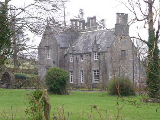 The Rectoryrectory/glebe/vicarage/curate's house · 233 yd
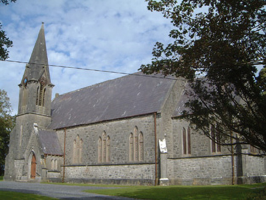 Lissadell Church (Drumcliff)church/chapel · 292 yd
 Bawn in DoonforeBawn · 494 yd
 Forester's WoodForest · 626 yd
 LissadellFairy fort / earthen ringfort · 977 yd
 Upperglen WoodForest · 1347 yd
 Fulacht fia in BallygilganFulacht fia · 1734 yd
 Castle (Site of)Castle, unclassified · 1.0 mi
 Drumcliff BayBay · 2.3 mi
 Finned PointHeadland · 2.3 mi
 Ardtermon StrandBeach / strand · 2.5 mi
 Atlantic SheepdogsHeritage attraction · 2.8 mi