
What is recorded here
Situated on level ground at base of a narrow NE-SW orientated wet depression between two low hillocks, in gently undulating pasture. Roughly crescent shaped, slightly domed, mound (dims. 18m NE-SW; 11m NW-SE; max. H 0.4m) of sod-covered charcoal rich earth. The opening (Wth 4m) of the crescent faces SE. A NE-SW orientated wire and post field fence abuts the base of the mound at NW.
Compiled by: Patrick F. O'Donovan
Date of upload: 21 April 2011
The monument record does not grant public access. Check the route and ask the landowner before entering private land.
- What survives
- Recorded monument
Places near here
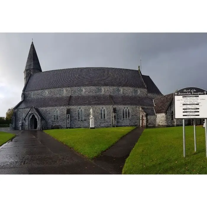 Church (in Ruins)Church · 217 yd
 Church Hill WoodWood · 401 yd
 Glancy's Gate WoodWood · 468 yd
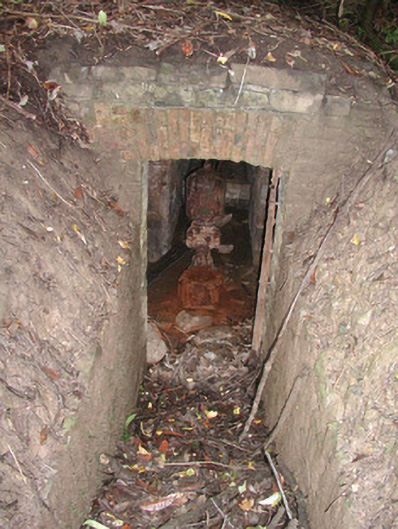 Lissadell Housewater pump · 496 yd
 Castle (Site of)Castle, unclassified · 799 yd
 LissadellFairy fort / earthen ringfort · 801 yd
 LisbigganFairy fort / earthen ringfort · 907 yd
 Bawn in DoonforeBawn · 1.2 mi
 Finned PointHeadland · 1.3 mi
 Drumcliff BayBay · 1.6 mi
 Rosses Point BeachBeach / strand · 2.8 mi
 Ardtermon StrandBeach / strand · 2.8 mi
Other information
Photo: Credit not shown in the picture search · Rights wording not checked; contact us if this picture should be removed